Urbex & Abandoned
Astley Green Colliery
Wigan, United Kingdom
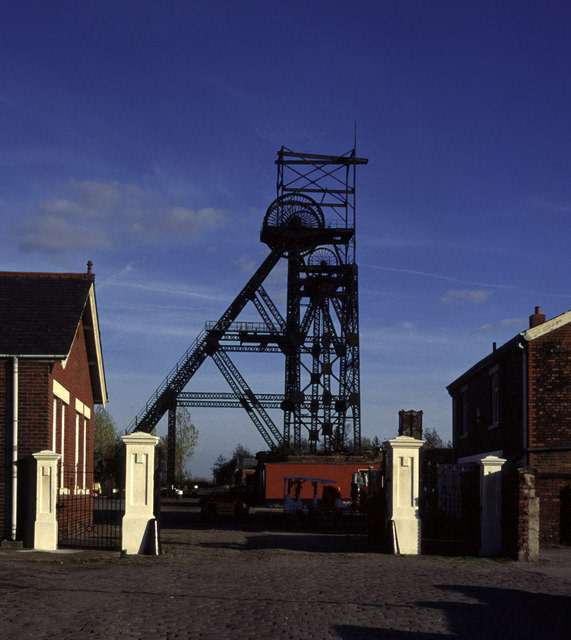
Astley Green Colliery was a coal mine in Astley, Greater Manchester, then in the historic county of Lancashire, England. It was the last colliery to be sunk in Astley.
- Category
- Urbex & Abandoned
- Location
- Wigan, United Kingdom
- Coordinates
- 53.49500, -2.44700
- How to get there
- Google MapsApple MapsOpenStreetMap
- Wikidata
- Q4810911
What is Astley Green Colliery?
Astley Green Colliery is a Urbex & Abandoned place on VeroMaps. Other places close by: Damhouse, The Ellesmere Public House, Boar's Head Public House, The Waterside Inn.
Where is Astley Green Colliery?
Astley Green Colliery is in Wigan, United Kingdom. Coordinates: 53.49500, -2.44700.
How do I get to Astley Green Colliery?
Astley Green Colliery is at Wigan, United Kingdom (53.49500, -2.44700). Enter these coordinates in Google Maps, Apple Maps or OpenStreetMap for walking, cycling or driving directions.