Urbex & Abandoned
1996 Manchester bombing
Manchester, United Kingdom
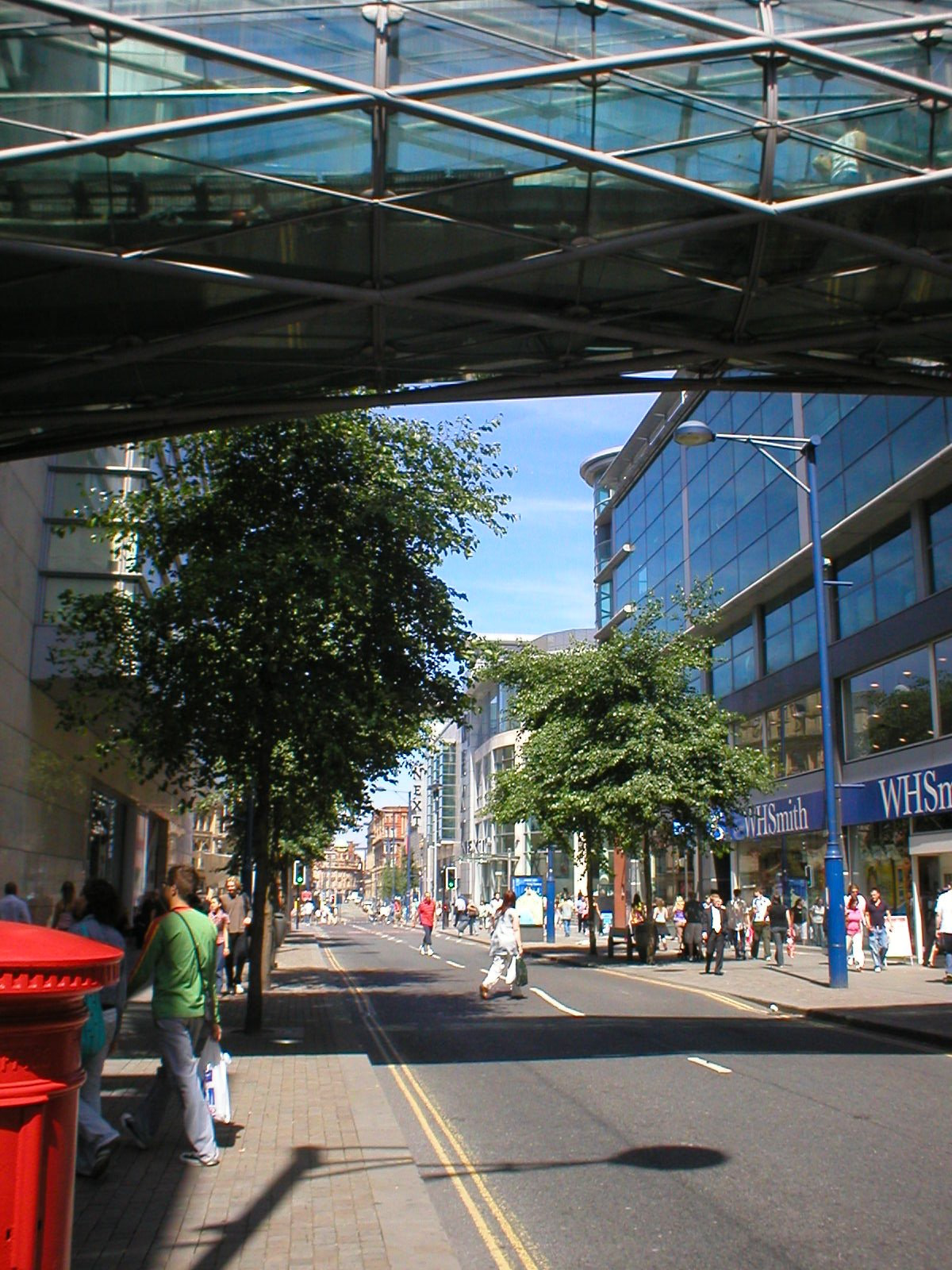
On 15 June 1996, the Provisional Irish Republican Army (IRA) detonated a 1,500-kilogram (3,300 lb) lorry bomb on Corporation Street in the centre of Manchester, England. It was the biggest bomb detonated in Great Britain since the Second World War.
- Category
- Urbex & Abandoned
- Location
- Manchester, United Kingdom
- Coordinates
- 53.48361, -2.24333
- How to get there
- Google MapsApple MapsOpenStreetMap
- Wikidata
- Q4591514
What is 1996 Manchester bombing?
1996 Manchester bombing is a Urbex & Abandoned place on VeroMaps. Other places close by: The Printworks, Ye Olde Rovers Return, Number 54 And Chop House Public House Thomas's Chop House, Manchester Castle.
Where is 1996 Manchester bombing?
1996 Manchester bombing is in Manchester, United Kingdom. Coordinates: 53.48361, -2.24333.
How do I get to 1996 Manchester bombing?
1996 Manchester bombing is at Manchester, United Kingdom (53.48361, -2.24333). Enter these coordinates in Google Maps, Apple Maps or OpenStreetMap for walking, cycling or driving directions.