Night Life
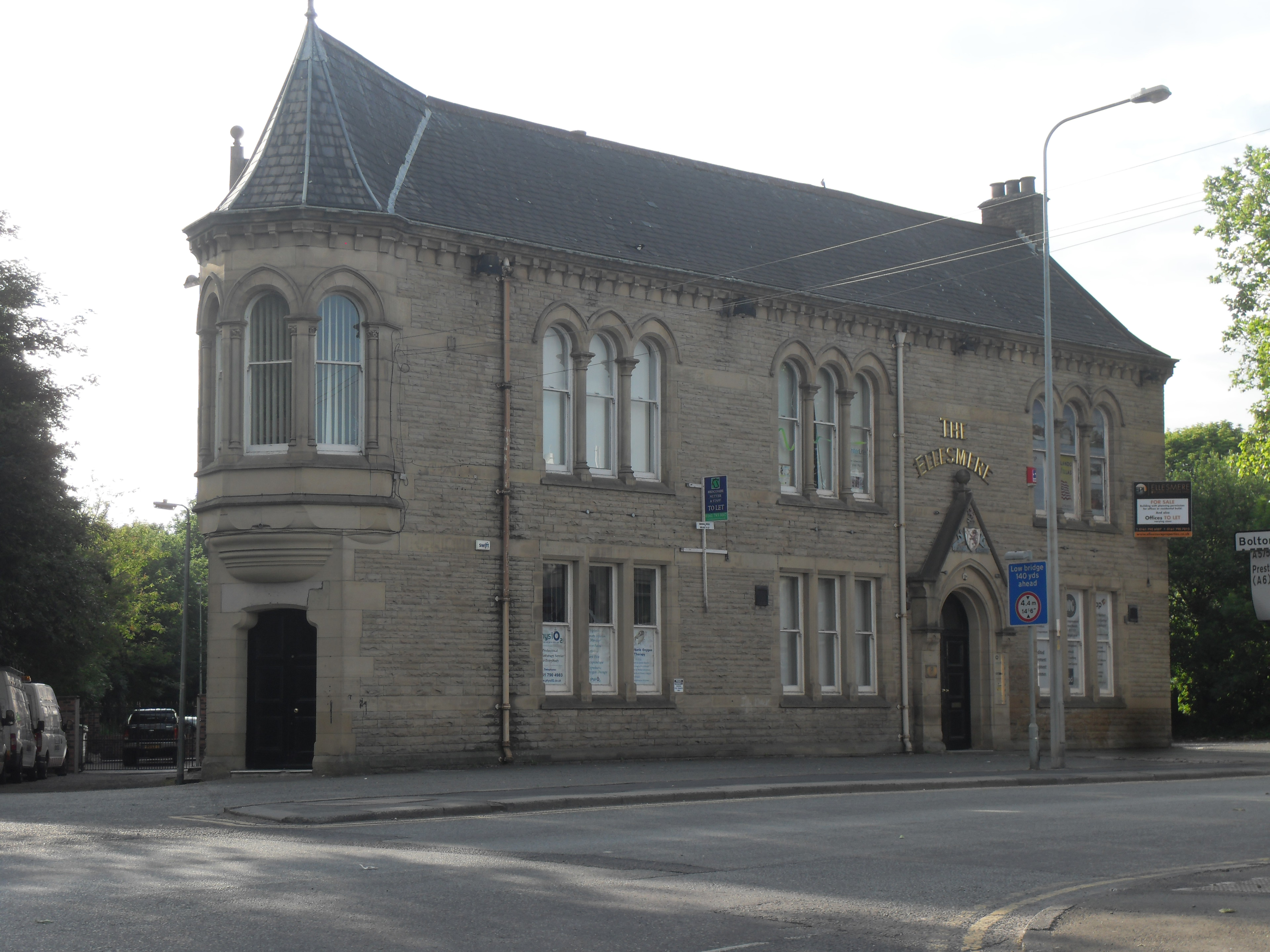
The Ellesmere Public House
Oxford, United Kingdom
The Ellesmere is a Grade II listed former public house on Walkden Road in Walkden, a town in the City of Salford, Greater Manchester, England. Built in the 1860s or 1870s in a High Victorian Gothic style, it stood beside Walkden Stocks station and was built to serve its passengers.
- Category
- Night Life
- Location
- Oxford, United Kingdom
- Address
- 93 Walkden Road, Oxford
- Coordinates
- 53.51865, -2.39699
- How to get there
- Google MapsApple MapsOpenStreetMap
- Wikidata
- Q26576016
What is The Ellesmere Public House?
The Ellesmere Public House is a Night Life place on VeroMaps, on 93 Walkden Road. Other places close by: White Horse Public House, Wet Earth Colliery, Astley Green Colliery, Damhouse.
Where is The Ellesmere Public House?
The Ellesmere Public House is in Oxford, United Kingdom. Coordinates: 53.51865, -2.39699.
How do I get to The Ellesmere Public House?
The Ellesmere Public House is at 93 Walkden Road, Oxford, United Kingdom (53.51865, -2.39699). Enter these coordinates in Google Maps, Apple Maps or OpenStreetMap for walking, cycling or driving directions.