Urbex & Abandoned
Clifton Hall Colliery
Lancashire, United Kingdom
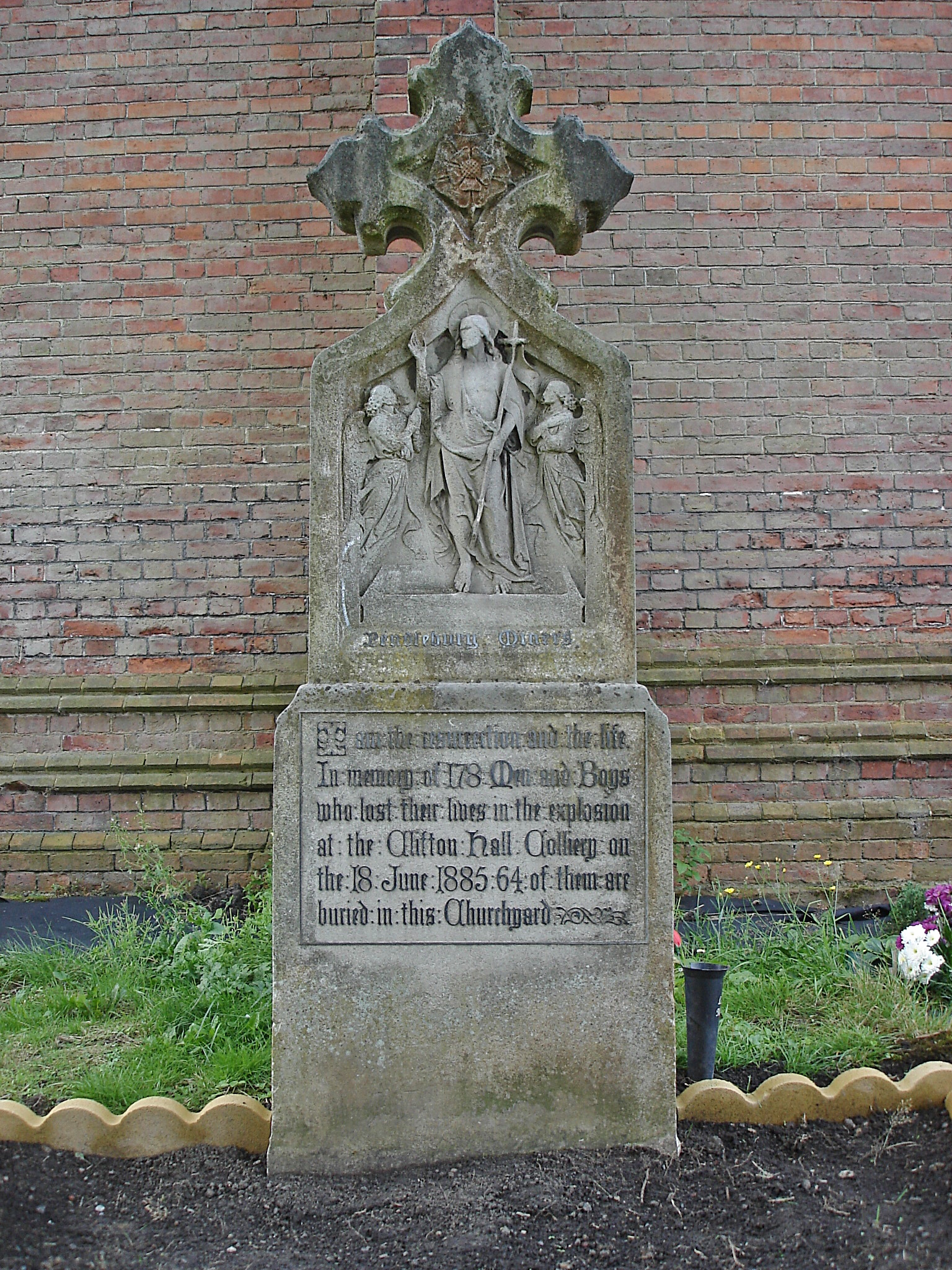
Clifton Hall Colliery was one of two coal mines in Clifton (the other was Wet Earth Colliery), and was notorious for an explosion in 1885 which killed around 178 men and boys. The colliery, owned by Andrew Knowles and Sons, was located in the Irwell Valley, just off Lumns Lane and had extensive railway sidings on the London and North Western Railway's Clifton Branch. It was connected to the Manchester, Bolton and Bury Canal by a ¼-mile long tramway.
- Category
- Urbex & Abandoned
- Location
- Lancashire, United Kingdom
- Coordinates
- 53.51640, -2.31318
- How to get there
- Google MapsApple MapsOpenStreetMap
- Wikidata
- Q5133223
What is Clifton Hall Colliery?
Clifton Hall Colliery is a Urbex & Abandoned place on VeroMaps. Other places close by: Pendleton Colliery, Church Inn, Wet Earth Colliery, Maypole Public House.
Where is Clifton Hall Colliery?
Clifton Hall Colliery is in Lancashire, United Kingdom. Coordinates: 53.51640, -2.31318.
How do I get to Clifton Hall Colliery?
Clifton Hall Colliery is at Lancashire, United Kingdom (53.51640, -2.31318). Enter these coordinates in Google Maps, Apple Maps or OpenStreetMap for walking, cycling or driving directions.