Photo corners
Damhouse
Wigan, United Kingdom
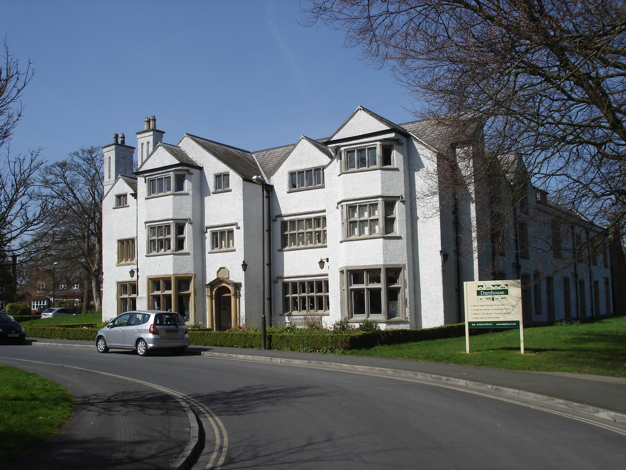
Damhouse or Astley Hall is a Grade II* listed building on Church Road in Astley, a village in the Metropolitan Borough of Wigan, Greater Manchester, England. It has served as a manor house, sanatorium, and since restoration in 2000, houses offices, a clinic, nursery and tearooms. The site was the manor house for the lords of the manors of Astley and Tyldesley from medieval times. The inscription over the lintel reads, "Erected by Adam Mort and Margret Mort 1650".
- Category
- Photo Spots
- Location
- Wigan, United Kingdom
- Coordinates
- 53.50300, -2.45600
- How to get there
- Google MapsApple MapsOpenStreetMap
- Wikidata
- Q5212206
What is Damhouse?
Damhouse is a Photo Spots place on VeroMaps. Other places close by: Astley Green Colliery, Boar's Head Public House, The Ellesmere Public House, The Waterside Inn.
Where is Damhouse?
Damhouse is in Wigan, United Kingdom. Coordinates: 53.50300, -2.45600.
How do I get to Damhouse?
Damhouse is at Wigan, United Kingdom (53.50300, -2.45600). Enter these coordinates in Google Maps, Apple Maps or OpenStreetMap for walking, cycling or driving directions.