Urbex & Abandoned
Pendleton Colliery
Manchester, United Kingdom
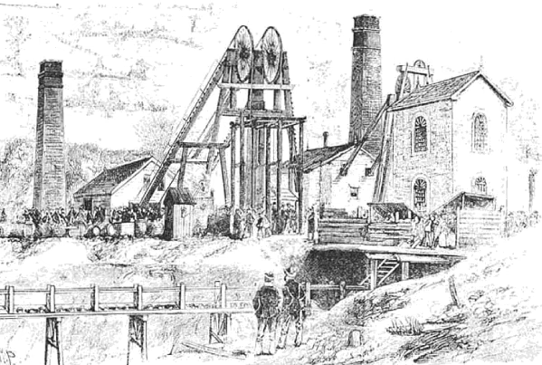
Pendleton Colliery was a coal mine operating on the Manchester Coalfield after the late 1820s on Whit Lane in Pendleton, Salford, then in the historic county of Lancashire, England.
- Category
- Urbex & Abandoned
- Location
- Manchester, United Kingdom
- Coordinates
- 53.50600, -2.29300
- How to get there
- Google MapsApple MapsOpenStreetMap
- Wikidata
- Q7162469
What is Pendleton Colliery?
Pendleton Colliery is a Urbex & Abandoned place on VeroMaps. Other places close by: Maypole Public House, Clifton Hall Colliery, Church Inn, Coach & Horses Public House, 350 Eccles New Road, Salford.
Where is Pendleton Colliery?
Pendleton Colliery is in Manchester, United Kingdom. Coordinates: 53.50600, -2.29300.
How do I get to Pendleton Colliery?
Pendleton Colliery is at Manchester, United Kingdom (53.50600, -2.29300). Enter these coordinates in Google Maps, Apple Maps or OpenStreetMap for walking, cycling or driving directions.