Night Life
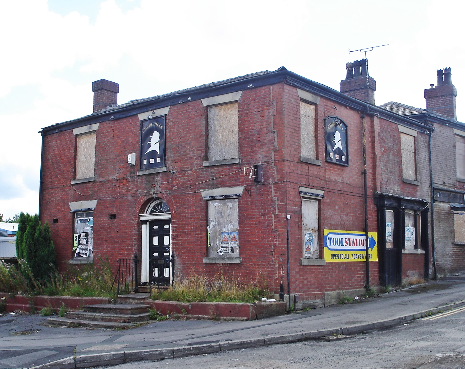
Churchills Public House
Oxford, United Kingdom
Churchills (formerly the Rose Hill) is a Grade II listed former public house on Manchester Road in Great Lever, a suburb of Bolton, Greater Manchester, England.
- Category
- Night Life
- Location
- Oxford, United Kingdom
- Address
- 122 Manchester Road, Oxford
- Coordinates
- 53.57052, -2.42096
- How to get there
- Google MapsApple MapsOpenStreetMap
- Wikidata
- Q26667672
What is Churchills Public House?
Churchills Public House is a Night Life place on VeroMaps, on 122 Manchester Road. Other places close by: Yates Wine Lodge, Stork Tavern, The Bay Mare, The Finishers Arms.
Where is Churchills Public House?
Churchills Public House is in Oxford, United Kingdom. Coordinates: 53.57052, -2.42096.
How do I get to Churchills Public House?
Churchills Public House is at 122 Manchester Road, Oxford, United Kingdom (53.57052, -2.42096). Enter these coordinates in Google Maps, Apple Maps or OpenStreetMap for walking, cycling or driving directions.