Photo corners
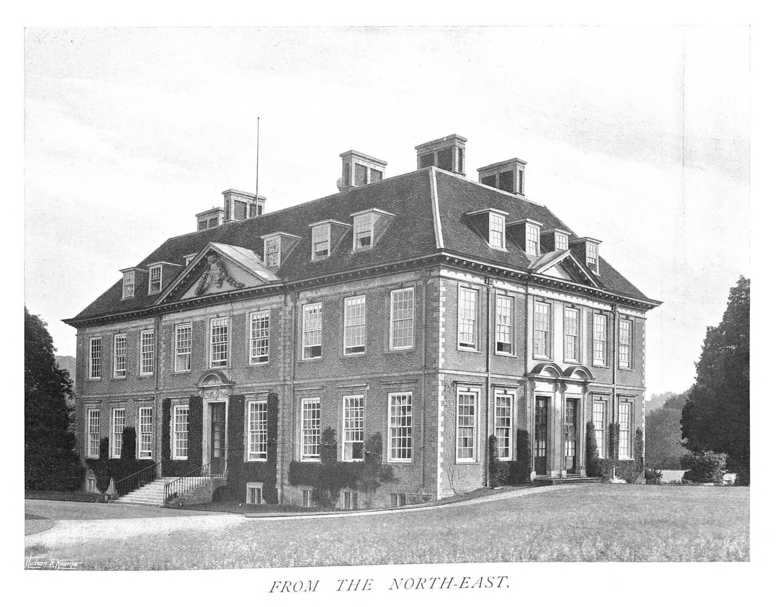
Ramsbury Manor
Ramsbury, United Kingdom
Ramsbury Manor is a Grade I listed country house at Ramsbury, Wiltshire, on the River Kennet between Hungerford and Marlborough, in the south of England. It belongs to the Capricorn Foundation, a trust which has the task of maintaining the house as a museum and cultural resource for the nation.
- Category
- Photo Spots
- Location
- Ramsbury, United Kingdom
- Coordinates
- 51.43730, -1.63173
- How to get there
- Google MapsApple MapsOpenStreetMap
- Wikidata
- Q7290153
What is Ramsbury Manor?
Ramsbury Manor is a Photo Spots place on VeroMaps. Other places close by: Fognam Quarry, Ashdown House, Burderop Park, Seven Barrows.
Where is Ramsbury Manor?
Ramsbury Manor is in Ramsbury, United Kingdom. Coordinates: 51.43730, -1.63173.
How do I get to Ramsbury Manor?
Ramsbury Manor is at Ramsbury, United Kingdom (51.43730, -1.63173). Enter these coordinates in Google Maps, Apple Maps or OpenStreetMap for walking, cycling or driving directions.