Photo corners
Abingdon Bridge
Abingdon on Thames, United Kingdom
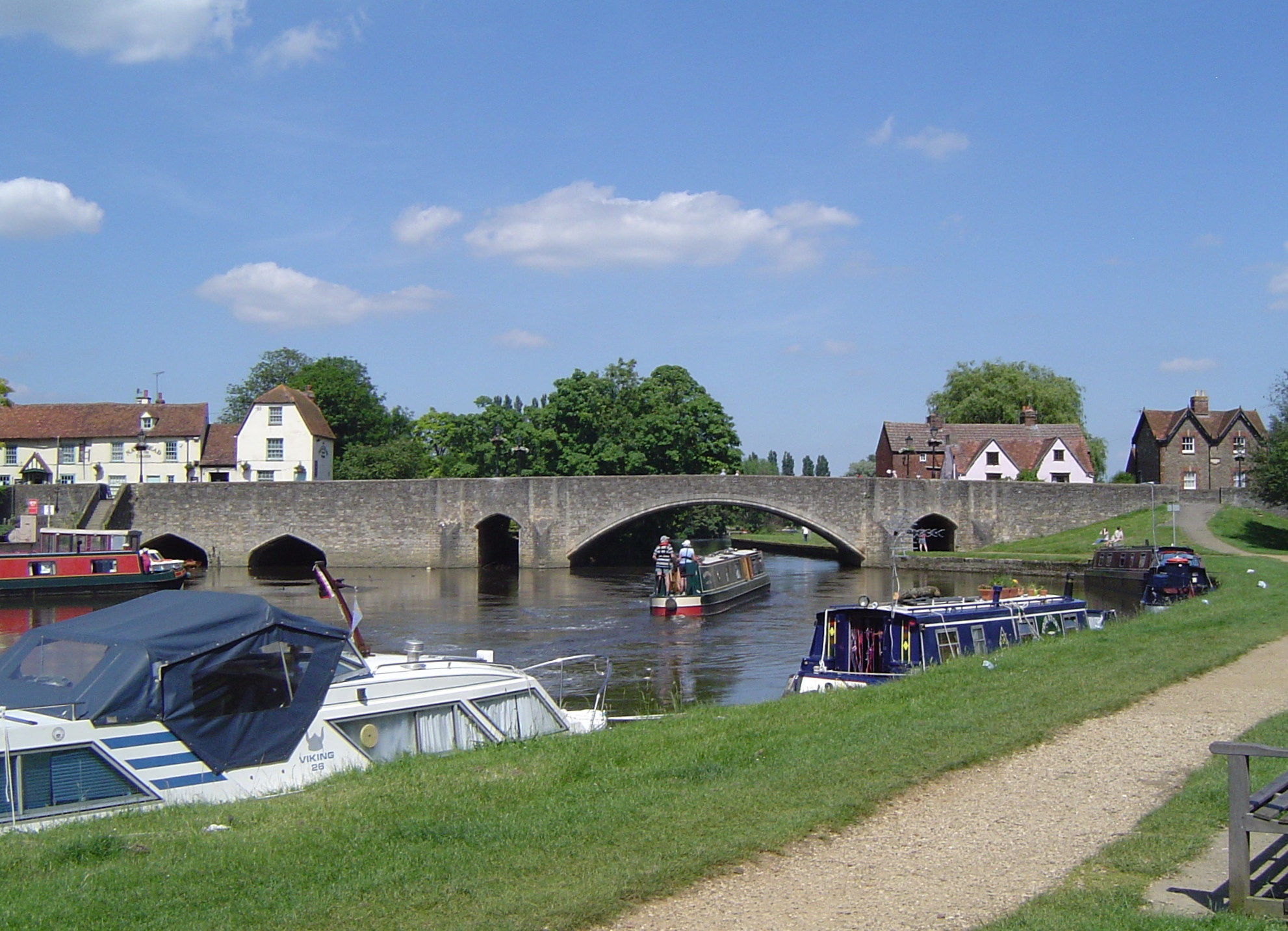
Abingdon Bridge crosses the River Thames at the town of Abingdon, Oxfordshire, England. It carries the A415 road from Abingdon to Dorchester, Oxfordshire, over the reach of the Thames between Culham Lock and Abingdon Lock. The bridge is actually two bridges, linked by Nag's Head Island. Abingdon Bridge is the northern part towards the town which has six arches and crosses the backwater and mill stream. The southern part is technically called Burford Bridge and has one main arch and four minor arches at the river and two minor arches on the floodplain. This crosses the main navigation channel. Furthermore, to complete the Thames crossing, Culham Bridge crossing the Swift Ditch should also be considered as an extension.
- Category
- Photo Spots
- Location
- Abingdon on Thames, United Kingdom
- Coordinates
- 51.66840, -1.27911
- How to get there
- Google MapsApple MapsOpenStreetMap
- Wikidata
- Q4667819
What is Abingdon Bridge?
Abingdon Bridge is a Photo Spots place on VeroMaps. Other places close by: Culham Bridge, Joint European Torus, Oxford Science Park, Christchurch, Mercury Fountain, the Great Quadrangle.
Where is Abingdon Bridge?
Abingdon Bridge is in Abingdon on Thames, United Kingdom. Coordinates: 51.66840, -1.27911.
How do I get to Abingdon Bridge?
Abingdon Bridge is at Abingdon on Thames, United Kingdom (51.66840, -1.27911). Enter these coordinates in Google Maps, Apple Maps or OpenStreetMap for walking, cycling or driving directions.