Photo corners
Snelsmore Common
Oxford, United Kingdom
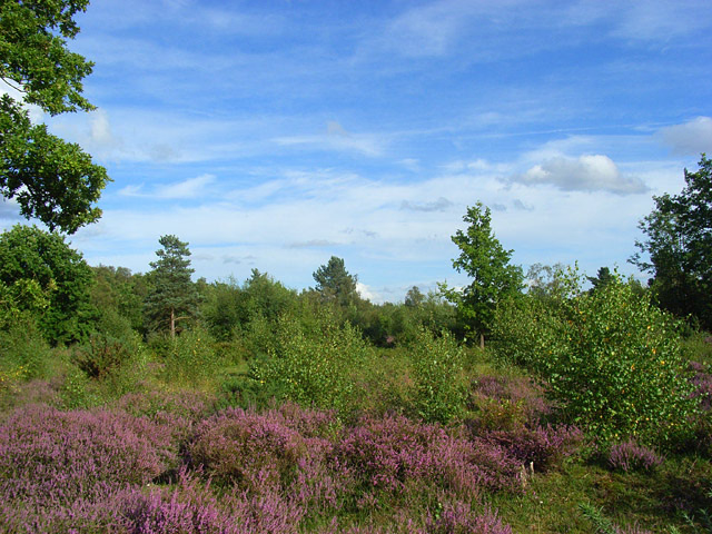
Snelsmore Common is a 104-hectare (260-acre) biological Site of Special Scientific Interest north of Newbury in Berkshire. It is owned by West Berkshire Council and managed by the Berkshire, Buckinghamshire and Oxfordshire Wildlife Trust. This is a country park which has diverse habitats, including dry heath, wet heath, bog, birch woods and ancient semi-natural broadleaved woodland. The bog has a 5,000 year old layer of peat which has been studied stratigraphically to show changes in ancient land use and vegetation. An area of wet alder woodland has many lichens, including a rich community which grows on trees, such as Parmelia caperarta, Pertusaria pertusa and Lecanactis abietina.
- Category
- Photo Spots
- Location
- Oxford, United Kingdom
- Coordinates
- 51.43610, -1.33960
- How to get there
- Google MapsApple MapsOpenStreetMap
- Wikidata
- Q7547663
What is Snelsmore Common?
Snelsmore Common is a Photo Spots place on VeroMaps. Other places close by: Donnington Castle, 20 and 22, The Broadway, Cold Ash Quarry, Thatcham Reed Beds.
Where is Snelsmore Common?
Snelsmore Common is in Oxford, United Kingdom. Coordinates: 51.43610, -1.33960.
How do I get to Snelsmore Common?
Snelsmore Common is at Oxford, United Kingdom (51.43610, -1.33960). Enter these coordinates in Google Maps, Apple Maps or OpenStreetMap for walking, cycling or driving directions.