Photo corners
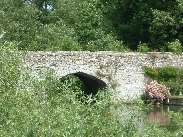
Culham Bridge
Culham, United Kingdom
Culham Bridge is a medieval bridge crossing a present backwater of the River Thames in England at Culham, Oxfordshire, near the town of Abingdon. The bridge crosses Swift Ditch which was at one time the main navigation channel of the River Thames until Abingdon Lock was built in 1790. The bridge formerly carried the A415 road from Abingdon to Dorchester, Oxfordshire, but was superseded in 1928 by a modern road bridge. It is a Grade II* listed building.
- Category
- Photo Spots
- Location
- Culham, United Kingdom
- Coordinates
- 51.65840, -1.27727
- How to get there
- Google MapsApple MapsOpenStreetMap
- Wikidata
- Q13528020
What is Culham Bridge?
Culham Bridge is a Photo Spots place on VeroMaps. Other places close by: Abingdon Bridge, Joint European Torus, Oxford Science Park, Bear at Home.
Where is Culham Bridge?
Culham Bridge is in Culham, United Kingdom. Coordinates: 51.65840, -1.27727.
How do I get to Culham Bridge?
Culham Bridge is at Culham, United Kingdom (51.65840, -1.27727). Enter these coordinates in Google Maps, Apple Maps or OpenStreetMap for walking, cycling or driving directions.