Night Life
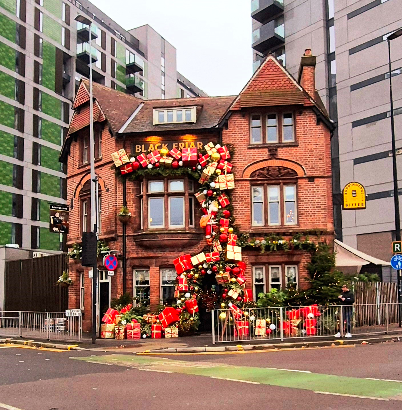
Black Friar Public House
Oxford, United Kingdom
The Black Friar is a Grade II listed public house on Blackfriars Road in Salford, England. Built in 1886 in a Vernacular Revival style for Henry Boddington II and attributed to the Manchester architect William Ball, it replaced the Old School Inn on King Street after the creation of Blackfriars Road in the 1880s.
- Category
- Night Life
- Location
- Oxford, United Kingdom
- Coordinates
- 53.48652, -2.25349
- How to get there
- Google MapsApple MapsOpenStreetMap
- Wikidata
- Q26665836
What is Black Friar Public House?
Black Friar Public House is a Night Life place on VeroMaps. Other places close by: Eagle Inn And Attached Dwelling, Lowry Hotel, Sawyers Arms Public House, 1996 Manchester bombing.
Where is Black Friar Public House?
Black Friar Public House is in Oxford, United Kingdom. Coordinates: 53.48652, -2.25349.
How do I get to Black Friar Public House?
Black Friar Public House is at Oxford, United Kingdom (53.48652, -2.25349). Enter these coordinates in Google Maps, Apple Maps or OpenStreetMap for walking, cycling or driving directions.