Forgotten History
Huis te Vleuten
Utrecht, Netherlands
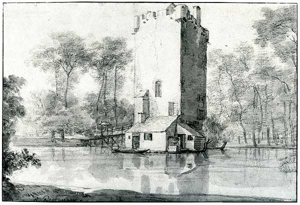
Huis te Vleuten was a medieval residential tower with the status of a knight's court town in Vleuten, a village that has been part of the municipality of Utrecht since January 1, 2001. In the period before Huis te Vleuten, there was probably already a predecessor of the castle complex. Huis te Vleuten was probably built in the second quarter of the 14th century. The floor plan was approximately 9.6 by 9.2 meters and the tower had walls of 1.5 meters thickness.
- Category
- Forgotten History
- Location
- Utrecht, Netherlands
- Coordinates
- 52.10167, 5.02167
- How to get there
- Google MapsApple MapsOpenStreetMap
- Wikidata
- Q2471196
What is Huis te Vleuten?
Huis te Vleuten is a Forgotten History place on VeroMaps. Other places close by: Kasteel Bottestein, Huis den Engh, Hof ter Weiden, Hamtoren.
Where is Huis te Vleuten?
Huis te Vleuten is in Utrecht, Netherlands. Coordinates: 52.10167, 5.02167.
How do I get to Huis te Vleuten?
Huis te Vleuten is at Utrecht, Netherlands (52.10167, 5.02167). Enter these coordinates in Google Maps, Apple Maps or OpenStreetMap for walking, cycling or driving directions.