Forgotten History
Huis te Voorn
Bij Park Voorn, Netherlands
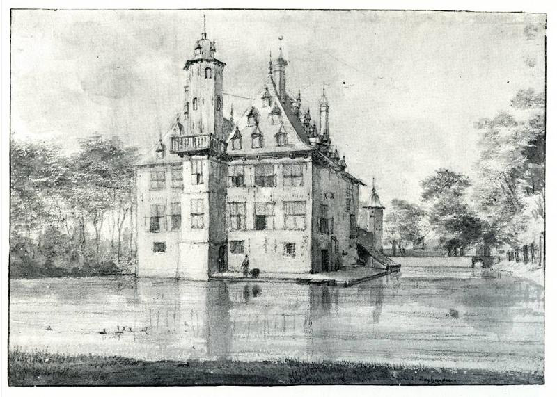
Huis te Voorn is a country estate with estate near the Stadsdam in Utrecht. Until 1995, Voorn and Stadsdam belonged to the town of De Meern. Before 1400, Voorn was a homestead with surrounding lands, owned by the Utrecht Chapter of Oudminster and loaned to members of the Taets family. In 1539, Voorn obtained the status of a knight's court town.
- Category
- Forgotten History
- Location
- Bij Park Voorn, Netherlands
- Coordinates
- 52.08508, 5.07231
- How to get there
- Google MapsApple MapsOpenStreetMap
- Wikidata
- Q2098855
What is Huis te Voorn?
Huis te Voorn is a Forgotten History place on VeroMaps. Other places close by: Metaal Kathedraal, Utrecht, Mattheüskerk, Dominicuskerk, De Meernbrug.
Where is Huis te Voorn?
Huis te Voorn is in Bij Park Voorn, Netherlands. Coordinates: 52.08508, 5.07231.
How do I get to Huis te Voorn?
Huis te Voorn is at Bij Park Voorn, Netherlands (52.08508, 5.07231). Enter these coordinates in Google Maps, Apple Maps or OpenStreetMap for walking, cycling or driving directions.