Forgotten History
Hamtoren
Vleuten, Netherlands
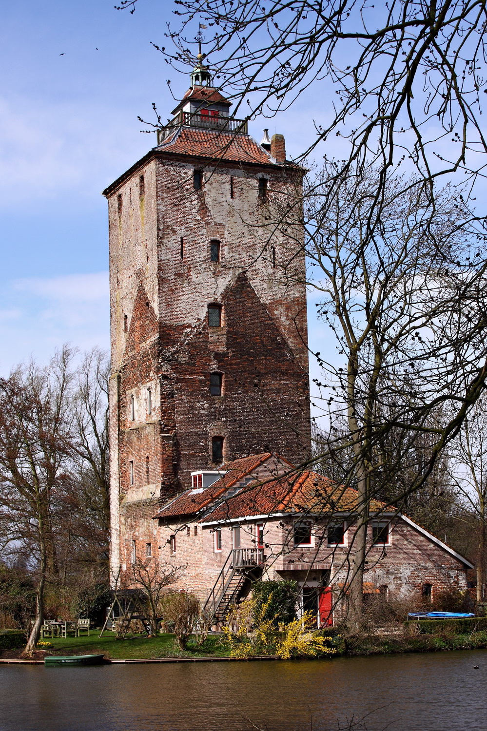
The Hamtoren is the remains of the historical Den Ham Castle in Vleuten. The tower is located north of the Utrecht–Rotterdam railway line, on an old road connecting Harmelen and Utrecht.
- Category
- Forgotten History
- Location
- Vleuten, Netherlands
- Address
- Hamlaan 3, Vleuten
- Coordinates
- 52.10556, 4.99556
- How to get there
- Google MapsApple MapsOpenStreetMap
- Wikidata
- Q2472799
What is Hamtoren?
Hamtoren is a Forgotten History place on VeroMaps, on Hamlaan 3. Other places close by: Kasteel Bottestein, Huis Den Eyk, Ter Mey, Huis te Vleuten.
Where is Hamtoren?
Hamtoren is in Vleuten, Netherlands. Coordinates: 52.10556, 4.99556.
How do I get to Hamtoren?
Hamtoren is at Hamlaan 3, Vleuten, Netherlands (52.10556, 4.99556). Enter these coordinates in Google Maps, Apple Maps or OpenStreetMap for walking, cycling or driving directions.