Forgotten History
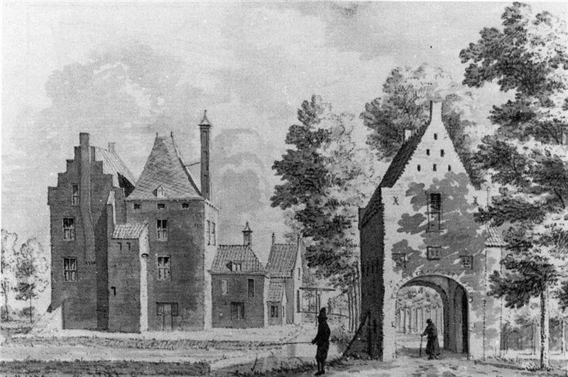
Huis den Engh
Utrecht, Netherlands
Den Engh is a former castle and knight's court town near Vleuten, municipality of Utrecht in Utrecht. The first mention dates from 1259. Den Engh was located east of the village of Vleuten and was recognized as a knight's court town in 1536. The Lords of den Engh (surnames uten Engh, van den Engh) served as members of the Knighthood (nobility) of Utrecht in the States of Utrecht.
- Category
- Forgotten History
- Location
- Utrecht, Netherlands
- Coordinates
- 52.10856, 5.03498
- How to get there
- Google MapsApple MapsOpenStreetMap
- Wikidata
- Q3012359
What is Huis den Engh?
Huis den Engh is a Forgotten History place on VeroMaps. Other places close by: Hof ter Weiden, Huis te Vleuten, Kasteel Bottestein, Den Hoet.
Where is Huis den Engh?
Huis den Engh is in Utrecht, Netherlands. Coordinates: 52.10856, 5.03498.
How do I get to Huis den Engh?
Huis den Engh is at Utrecht, Netherlands (52.10856, 5.03498). Enter these coordinates in Google Maps, Apple Maps or OpenStreetMap for walking, cycling or driving directions.