Urbex & Abandoned
Gambleside
Dunnockshaw, United Kingdom
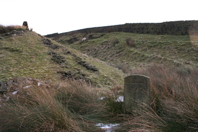
Gambleside is an abandoned village located in northern Rossendale close to the boundary with Burnley's Dunnockshaw parish. In the late Middle Ages Gambleside was one of the cow farms (vaccary) of the Rossendale Forest, belonging to the Honour of Clitheroe. In 1507 the land was demised as a copyhold to Oliver and George Ormerode at a rent of £4 per year. Historically the Gambleside area stretched from Limy Water southeast over the hills into the valley of Whitewell Brook, including land on the southern side of Clough Bottom Reservoir. It formed part of the township of Higher Booths in the ancient parish of Whalley, which became a civil parish in 1866. In 1894, with the creation of Rawtenstall municipal borough this part of Higher Booths was incorporated into it. The settlement was located on a limersgate, a pathway used by pack horses carrying lime, which linked Clitheroe to Rochdale. Gambleside Colliery was established in 1612 and was worked for over 300 years until 1936. It had two main shafts, a winding shaft on the hillside and Pumping Pit. The population began to decline after the building of the Clowbridge Reservoir in 1866, which restricted farming in the village. The Ormerod Family continued to live there until about 1874, with the village abandoned during the 1890s.
- Category
- Urbex & Abandoned
- Location
- Dunnockshaw, United Kingdom
- Coordinates
- 53.74539, -2.25925
- How to get there
- Google MapsApple MapsOpenStreetMap
- Wikidata
- Q61945436
What is Gambleside?
Gambleside is a Urbex & Abandoned place on VeroMaps. Other places close by: Gawthorpe Hall, Extwistle Hall, Two standing stones to north and south of lane between Stones Grange Farm and Stones Farm at NGR SD92522359 and NGR 92252380, Todmorden War Memorial.
Where is Gambleside?
Gambleside is in Dunnockshaw, United Kingdom. Coordinates: 53.74539, -2.25925.
How do I get to Gambleside?
Gambleside is at Dunnockshaw, United Kingdom (53.74539, -2.25925). Enter these coordinates in Google Maps, Apple Maps or OpenStreetMap for walking, cycling or driving directions.