Night Life
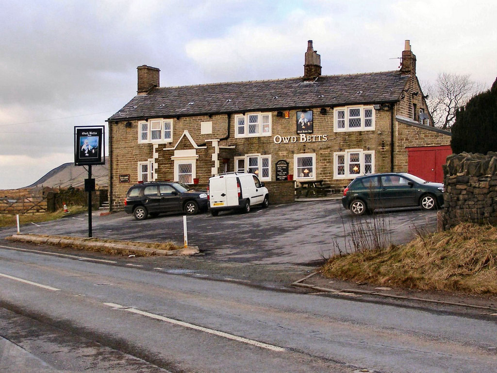
Owd Betts Public House
Oxford, United Kingdom
Owd Betts is a Grade II listed public house near Norden, a village in the Metropolitan Borough of Rochdale, Greater Manchester, England. Built in 1796, it is located on Edenfield Road (A640), on the outskirts of Rochdale. The building stands adjacent to Ashworth Moor Reservoir to the south and Scout Moor Wind Farm to the north.
- Category
- Night Life
- Location
- Oxford, United Kingdom
- Address
- Edenfield Road, Oxford
- Coordinates
- 53.64064, -2.25900
- How to get there
- Google MapsApple MapsOpenStreetMap
- Wikidata
- Q26367915
What is Owd Betts Public House?
Owd Betts Public House is a Night Life place on VeroMaps, on Edenfield Road. Other places close by: Egerton Arms, Shoulder of Mutton, Two Tubbs, Peel Memorial.
Where is Owd Betts Public House?
Owd Betts Public House is in Oxford, United Kingdom. Coordinates: 53.64064, -2.25900.
How do I get to Owd Betts Public House?
Owd Betts Public House is at Edenfield Road, Oxford, United Kingdom (53.64064, -2.25900). Enter these coordinates in Google Maps, Apple Maps or OpenStreetMap for walking, cycling or driving directions.