Photo corners
Flitwick Moor
Flitwick, United Kingdom
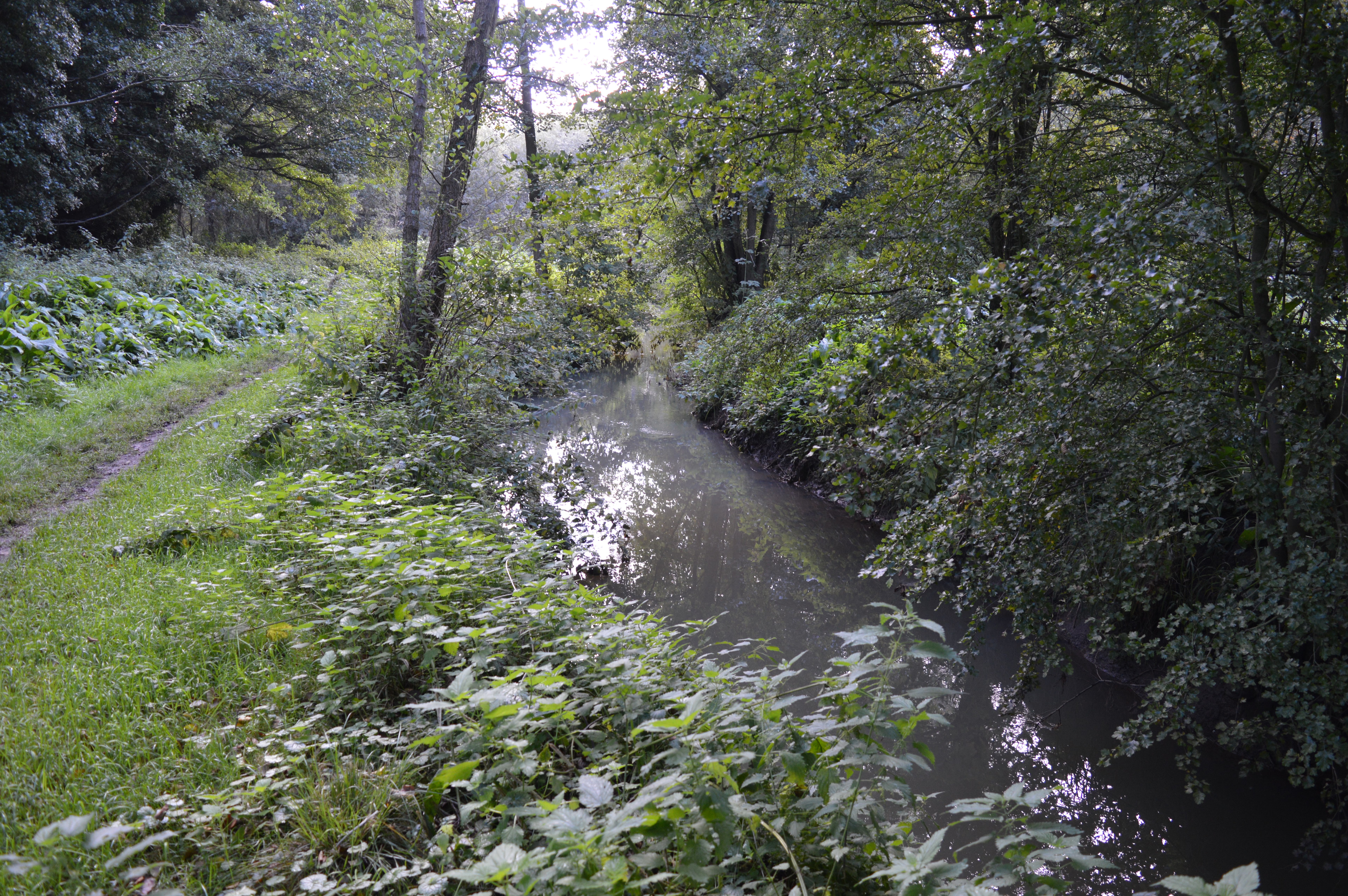
Flitwick Moor is a 59.8-hectare (148-acre) biological Site of Special Scientific Interest between Flitwick and Greenfield in Bedfordshire. It was notified under Section 28 of the Wildlife and Countryside Act 1981 in 1984 and the local planning authority is Central Bedfordshire Council. The site is managed by the Wildlife Trust for Bedfordshire, Cambridgeshire and Northamptonshire. This is a rich valley mire, and the largest area of wetland in Bedfordshire. Eight species of sphagnum bog moss have been recorded, including one which is nationally rare. The site has areas of woodland as well as wet grassland. The area managed by the Wildlife Trust is 66.6 hectares: it includes Folly Wood, which was added to the site in 2007. There is access from Greenfield Road, which bisects the site.
- Category
- Photo Spots
- Location
- Flitwick, United Kingdom
- Coordinates
- 52.00760, -0.47677
- How to get there
- Google MapsApple MapsOpenStreetMap
- Wikidata
- Q5459773
What is Flitwick Moor?
Flitwick Moor is a Photo Spots place on VeroMaps. Other places close by: Flitwick Manor, Cut-throat Meadow, Cooper's Hill, Barton Hills, Bedfordshire.
Where is Flitwick Moor?
Flitwick Moor is in Flitwick, United Kingdom. Coordinates: 52.00760, -0.47677.
How do I get to Flitwick Moor?
Flitwick Moor is at Flitwick, United Kingdom (52.00760, -0.47677). Enter these coordinates in Google Maps, Apple Maps or OpenStreetMap for walking, cycling or driving directions.