Photo corners
Barton Hills, Bedfordshire
Barton-le-Clay, United Kingdom
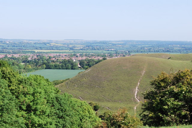
Barton Hills are situated southeast of the village of Barton-le-Clay in the English county of Bedfordshire. They are part of the Chilterns and hiking routes are marked on maps at the entrance to the hills. From the foot of the hillside, a spring (Barton Springs) marks the start of a chalk stream river.
- Category
- Photo Spots
- Location
- Barton-le-Clay, United Kingdom
- Coordinates
- 51.95360, -0.41590
- How to get there
- Google MapsApple MapsOpenStreetMap
- Wikidata
- Q4865645
What is Barton Hills, Bedfordshire?
Barton Hills, Bedfordshire is a Photo Spots place on VeroMaps. Other places close by: Fancott Woods and Meadows, Flitwick Moor, Flitwick Manor, Painters Arms.
Where is Barton Hills, Bedfordshire?
Barton Hills, Bedfordshire is in Barton-le-Clay, United Kingdom. Coordinates: 51.95360, -0.41590.
How do I get to Barton Hills, Bedfordshire?
Barton Hills, Bedfordshire is at Barton-le-Clay, United Kingdom (51.95360, -0.41590). Enter these coordinates in Google Maps, Apple Maps or OpenStreetMap for walking, cycling or driving directions.