Photo corners
Cople Pits
Cambridge, United Kingdom
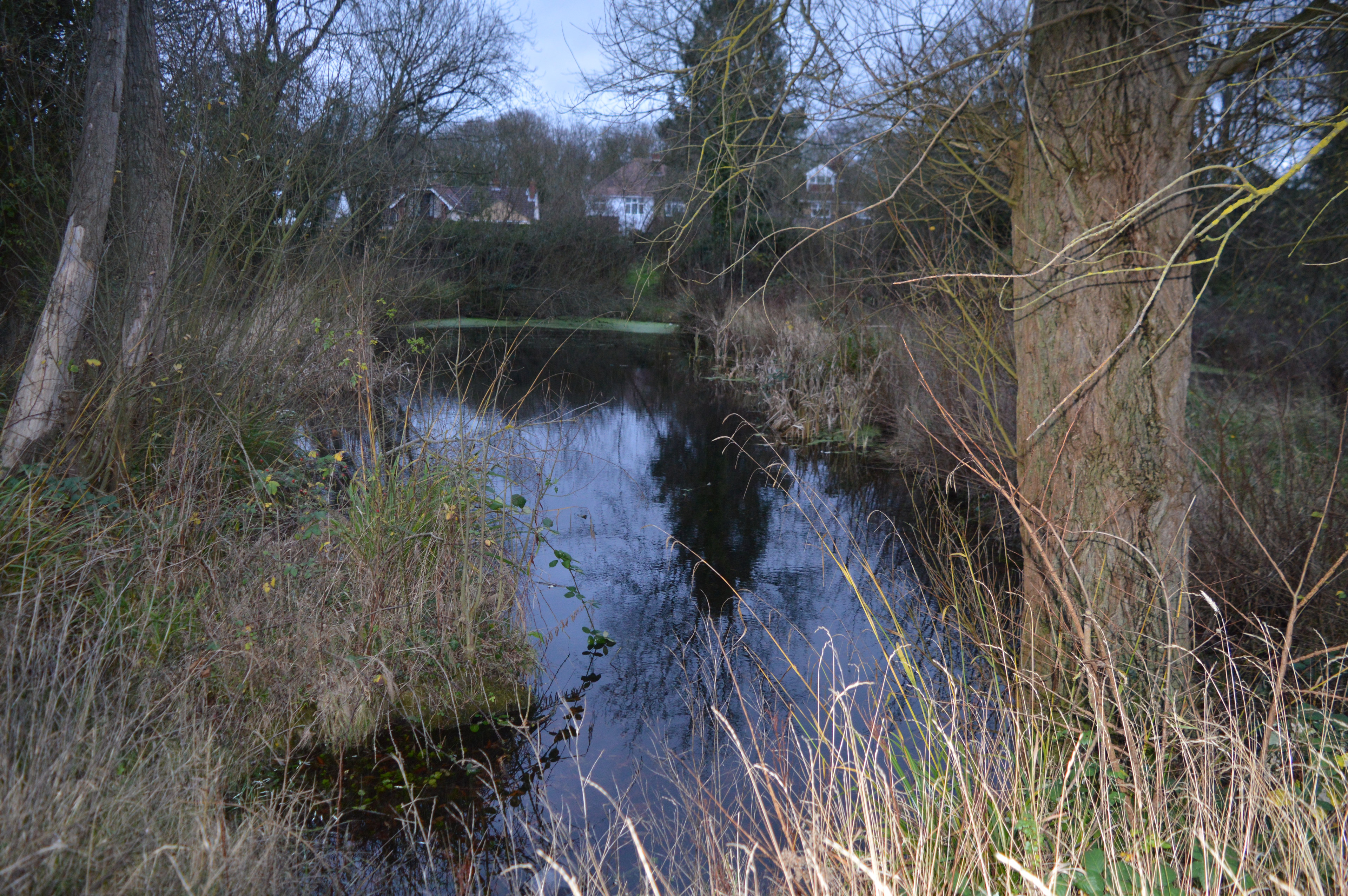
Cople Pits is a 2-hectare (4.9-acre) nature reserve in Cople in Bedfordshire. It is managed by the Wildlife Trust for Bedfordshire, Cambridgeshire and Northamptonshire. The site has eleven long water-filled pits from gravel extraction in the 1930s, which are now surrounded by willow and hawthorn scrub. The pits have been colonised by aquatic plants. Fauna include dragonflies, kingfishers and woodpeckers, and there is also a wildflower meadow. There is access by a short footpath from Willington Road, adjacent to All Saints Road.
- Category
- Photo Spots
- Location
- Cambridge, United Kingdom
- Coordinates
- 52.13020, -0.38990
- How to get there
- Google MapsApple MapsOpenStreetMap
- Wikidata
- Q5168619
What is Cople Pits?
Cople Pits is a Photo Spots place on VeroMaps. Other places close by: Statue of John Howard, Statue of John Bunyan, The Riddy, The Cock.
Where is Cople Pits?
Cople Pits is in Cambridge, United Kingdom. Coordinates: 52.13020, -0.38990.
How do I get to Cople Pits?
Cople Pits is at Cambridge, United Kingdom (52.13020, -0.38990). Enter these coordinates in Google Maps, Apple Maps or OpenStreetMap for walking, cycling or driving directions.