Photo corners
Cooper's Hill
Ampthill, United Kingdom
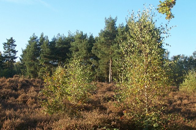
Cooper's Hill is an 18. 1-hectare (45-acre) biological Site of Special Scientific Interest in Ampthill in Bedfordshire. It was notified under Section 28 of the Wildlife and Countryside Act 1981 in 1984, and the planning authority is Central Bedfordshire Council.
- Category
- Photo Spots
- Location
- Ampthill, United Kingdom
- Coordinates
- 52.02774, -0.50232
- How to get there
- Google MapsApple MapsOpenStreetMap
- Wikidata
- Q5167710
What is Cooper's Hill?
Cooper's Hill is a Photo Spots place on VeroMaps. Other places close by: Cut-throat Meadow, Flitwick Moor, Flitwick Manor, Fancott Woods and Meadows.
Where is Cooper's Hill?
Cooper's Hill is in Ampthill, United Kingdom. Coordinates: 52.02774, -0.50232.
How do I get to Cooper's Hill?
Cooper's Hill is at Ampthill, United Kingdom (52.02774, -0.50232). Enter these coordinates in Google Maps, Apple Maps or OpenStreetMap for walking, cycling or driving directions.