Photo corners
Arlesey Old Moat and Glebe Meadows
Cambridge, United Kingdom
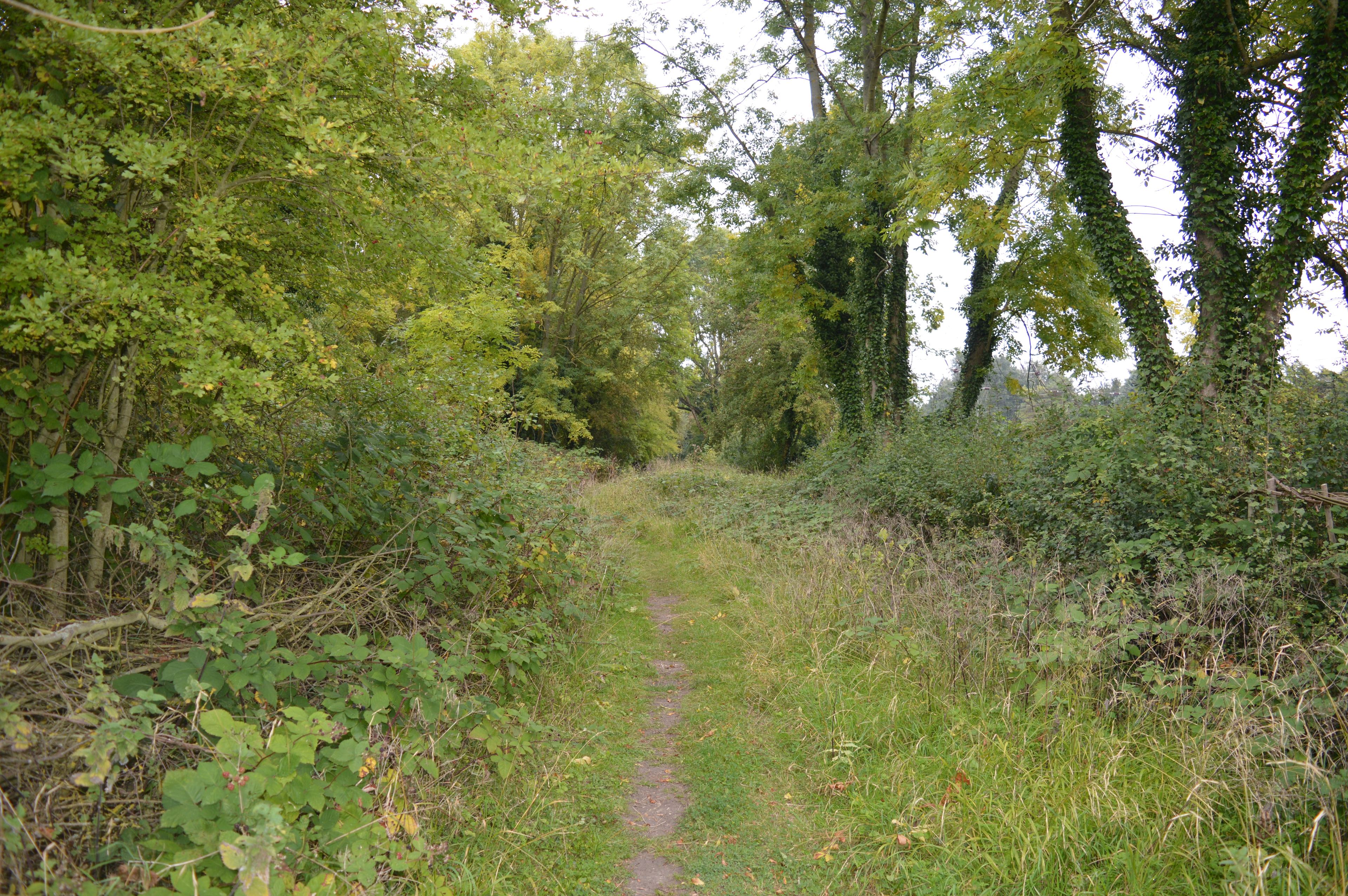
Arlesey Old Moat and Glebe Meadows is a 4.3 hectare nature reserve west of Arlesey in Bedfordshire. It is managed by the Wildlife Trust for Bedfordshire, Cambridgeshire and Northamptonshire. The site is a long narrow strip between the River Hiz and the East Coast Main Line, with the entrance to Glebe Meadows immediately west of Arlesey railway station, and Arlesey Old Moat south of the Meadows. The Hicca Way footpath goes through the site. Frogs, toads and newts spawn in the moat, and dragonflies lay their eggs in it. The meadows have a range of wild flowers, and woodland, which is managed by coppicing, provides a habitat for nesting warblers. The Glebe Meadows were purchased, by raising funds, by Arlesey Conservation for Nature (ACORN) for the public to enjoy in perpetuity for quiet recreation and for wildlife. The Wildlife Trust agreed to hold the title of the land on their behalf. The Town Council also agreed to financially support the upkeep of the meadows. This project was to commemorate the new Millennium. The day to day upkeep of the reserves is undertaken by ACORN volunteers.
- Category
- Photo Spots
- Location
- Cambridge, United Kingdom
- Coordinates
- 52.02200, -0.26900
- How to get there
- Google MapsApple MapsOpenStreetMap
- Wikidata
- Q4792203
What is Arlesey Old Moat and Glebe Meadows?
Arlesey Old Moat and Glebe Meadows is a Photo Spots place on VeroMaps. Other places close by: Edworth Manor, Hinxworth Place, The Cock, Ashwell Bury.
Where is Arlesey Old Moat and Glebe Meadows?
Arlesey Old Moat and Glebe Meadows is in Cambridge, United Kingdom. Coordinates: 52.02200, -0.26900.
How do I get to Arlesey Old Moat and Glebe Meadows?
Arlesey Old Moat and Glebe Meadows is at Cambridge, United Kingdom (52.02200, -0.26900). Enter these coordinates in Google Maps, Apple Maps or OpenStreetMap for walking, cycling or driving directions.