Photo corners
Paddington Meadows
Warrington, United Kingdom
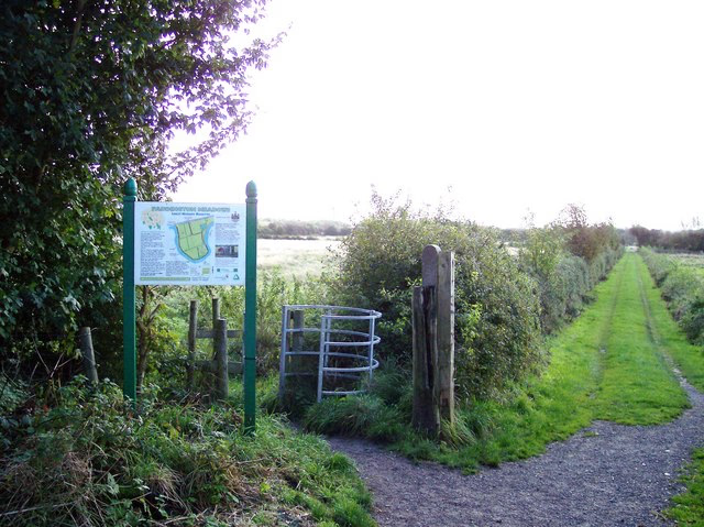
Paddington Meadows is a Local Nature Reserve in Warrington, Cheshire. The land was donated to Warrington Borough council in 1995. It was designated in November 2005. The site comprises almost 30 hectares of meadow grassland occupying the area to the south of Manchester Road (the A57) and to the north of the Mersey.
- Category
- Photo Spots
- Location
- Warrington, United Kingdom
- Coordinates
- 53.39281, -2.55623
- How to get there
- Google MapsApple MapsOpenStreetMap
- Wikidata
- Q7123330
What is Paddington Meadows?
Paddington Meadows is a Photo Spots place on VeroMaps. Other places close by: Statue of Oliver Cromwell, Warrington bombings, Daresbury Hall, Daresbury Laboratory.
Where is Paddington Meadows?
Paddington Meadows is in Warrington, United Kingdom. Coordinates: 53.39281, -2.55623.
How do I get to Paddington Meadows?
Paddington Meadows is at Warrington, United Kingdom (53.39281, -2.55623). Enter these coordinates in Google Maps, Apple Maps or OpenStreetMap for walking, cycling or driving directions.