Urbex & Abandoned
Alderley Edge Mines
Cheshire East, United Kingdom
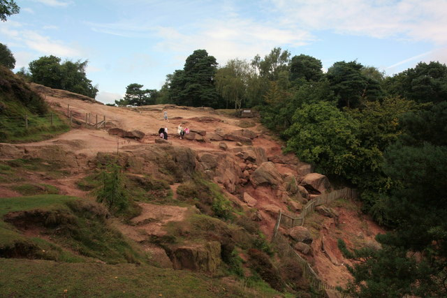
The Alderley Edge Mines are located on the escarpment in Alderley Edge, Cheshire. Archaeological evidence indicates that copper mining took place here during Roman times and the Bronze Age, and written records show that mining continued here from the 1690s up to the 1920s. The site was the location of the Alderley Edge Landscape Project and the Pot Shaft Hoard. Many of the mines are owned by the National Trust. The Derbyshire Caving Club have leased the access rights, and they continue to explore and search for areas of mining that have been closed for centuries.
- Category
- Urbex & Abandoned
- Location
- Cheshire East, United Kingdom
- Coordinates
- 53.29600, -2.21200
- How to get there
- Google MapsApple MapsOpenStreetMap
- Wikidata
- Q19587065
What is Alderley Edge Mines?
Alderley Edge Mines is a Urbex & Abandoned place on VeroMaps. Other places close by: Alderley Old Hall, Chorley Old Hall, Fulshaw Hall, Alderley Park.
Where is Alderley Edge Mines?
Alderley Edge Mines is in Cheshire East, United Kingdom. Coordinates: 53.29600, -2.21200.
How do I get to Alderley Edge Mines?
Alderley Edge Mines is at Cheshire East, United Kingdom (53.29600, -2.21200). Enter these coordinates in Google Maps, Apple Maps or OpenStreetMap for walking, cycling or driving directions.