Urbex & Abandoned
Gautries Rake
Peak Forest, United Kingdom
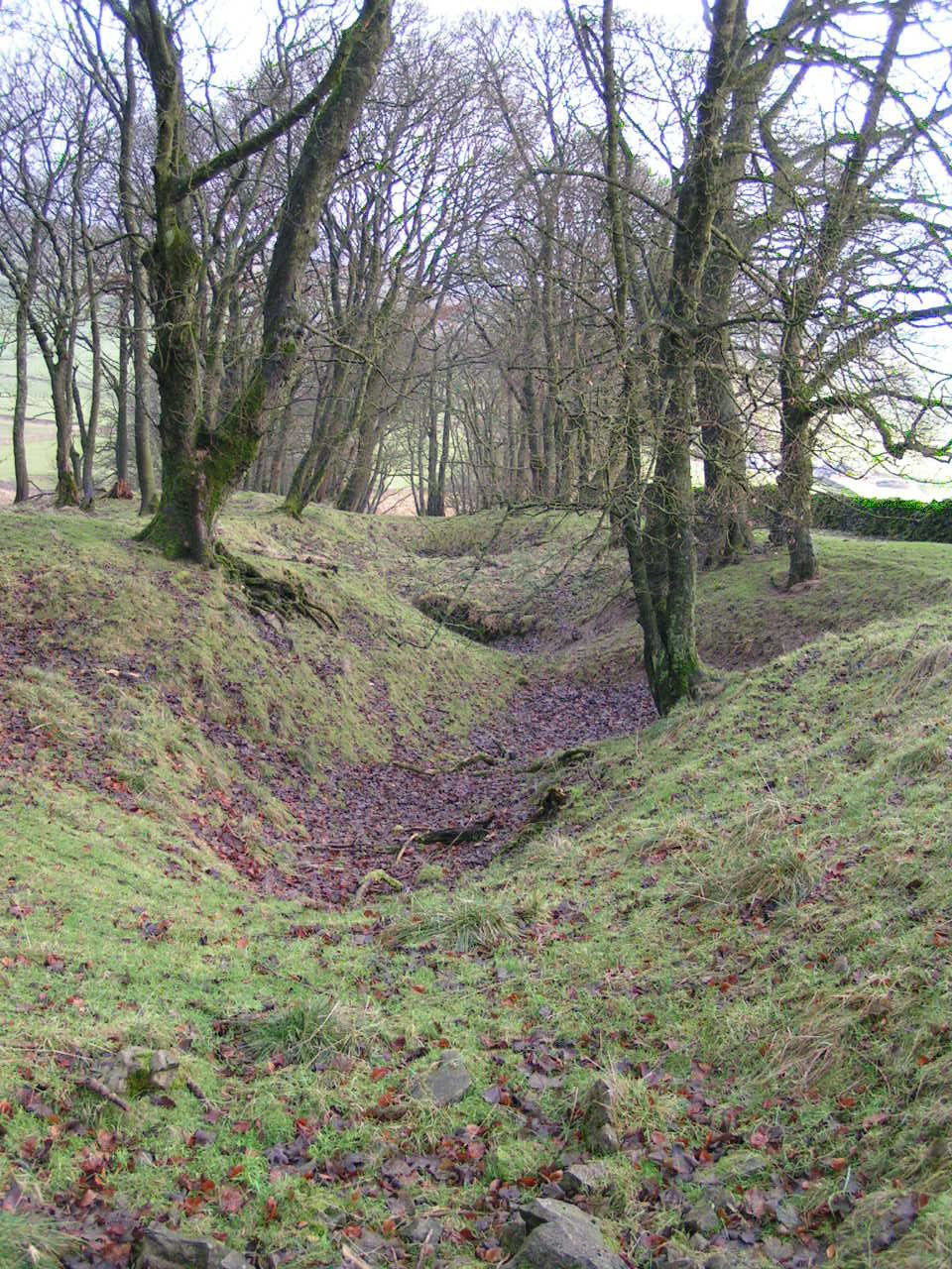
Gautries Rake in Sparrowpit, Derbyshire, east of Chapel-en-le-Frith is a preserved example of a linear sequence of lead mine workings that date back to at least the late 17th century. The remains were classified as a scheduled monument on 21 March 2013.
- Category
- Urbex & Abandoned
- Location
- Peak Forest, United Kingdom
- Coordinates
- 53.32410, -1.85048
- How to get there
- Google MapsApple MapsOpenStreetMap
- Wikidata
- Q17664700
What is Gautries Rake?
Gautries Rake is a Urbex & Abandoned place on VeroMaps. Other places close by: Peveril Castle, St Anns Well, The Three Stags' Heads, Harpur Hill Quarry.
Where is Gautries Rake?
Gautries Rake is in Peak Forest, United Kingdom. Coordinates: 53.32410, -1.85048.
How do I get to Gautries Rake?
Gautries Rake is at Peak Forest, United Kingdom (53.32410, -1.85048). Enter these coordinates in Google Maps, Apple Maps or OpenStreetMap for walking, cycling or driving directions.