Night Life
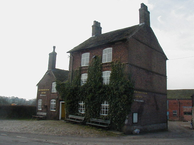
Harrington Arms
Oxford, United Kingdom
The Harrington Arms is in Church Lane, Gawsworth, Cheshire, England, and is recorded in the National Heritage List for England as a designated Grade II listed building. It is included in the Campaign for Real Ale's National Inventory of Historic Pub Interiors. It was built in the late 17th/early 18th century with 19th-century alterations and additions. As of 2022, it is owned by Robinsons Brewery.
- Category
- Night Life
- Location
- Oxford, United Kingdom
- Coordinates
- 53.22235, -2.17097
- How to get there
- Google MapsApple MapsOpenStreetMap
- Wikidata
- Q18160146
What is Harrington Arms?
Harrington Arms is a Night Life place on VeroMaps. Other places close by: Gawsworth Old Hall, Gawsworth New Hall, Danes Moss Nature Reserve, Sutton Hall, Sutton Lane Ends.
Where is Harrington Arms?
Harrington Arms is in Oxford, United Kingdom. Coordinates: 53.22235, -2.17097.
How do I get to Harrington Arms?
Harrington Arms is at Oxford, United Kingdom (53.22235, -2.17097). Enter these coordinates in Google Maps, Apple Maps or OpenStreetMap for walking, cycling or driving directions.