Photo corners
Ulla Lighthouse
Valderoy, Norway
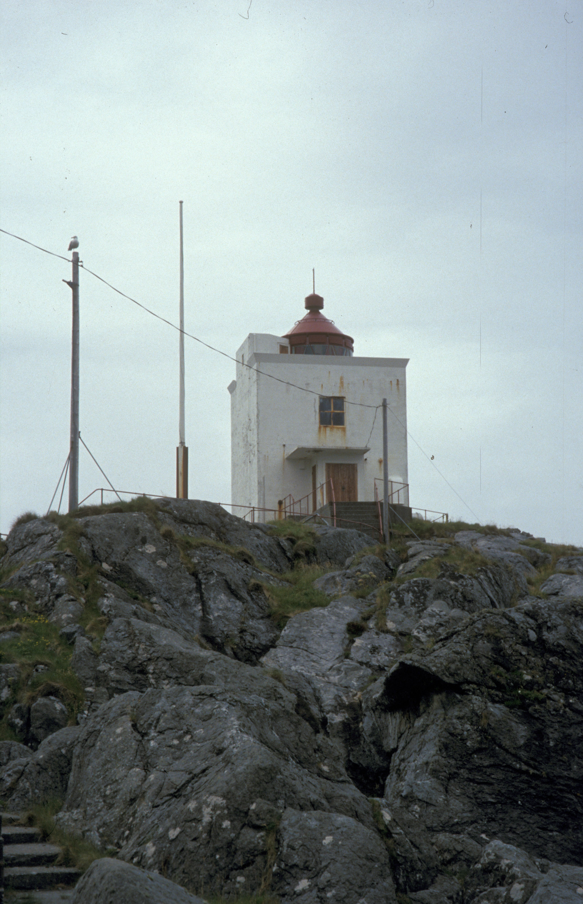
Ulla Lighthouse (Norwegian: Ulla fyr) is a lighthouse just off the north end of the island of Haramsøya in Haram Municipality, Møre og Romsdal county, Norway. The lighthouse sits on the very small island of Ulla, about 1.5 kilometres (0.93 mi) northwest of the Ullasund Bridge. The light at the top of the 10-metre (33 ft) tall tower emits a white, red or green light, depending on direction, occulting twice every 10 seconds. The light sits at an elevation of 22 metres (72 ft) above sea level. In October 1944, the lighthouse and the surrounding buildings were attacked by allied airplanes. The lighthouse was badly destroyed, and not rebuilt until after the war in 1950. The lighthouse is still in operation, and is protected by the Norwegian government as an historical landmark. The Norwegian Coastal Administration owns the surrounding buildings, and the old station is available for hire.
- Category
- Photo Spots
- Location
- Valderoy, Norway
- Coordinates
- 62.68522, 6.16494
- How to get there
- Google MapsApple MapsOpenStreetMap
- Wikidata
- Q908222
What is Ulla Lighthouse?
Ulla Lighthouse is a Photo Spots place on VeroMaps. Other places close by: Hellevik Lighthouse, Lepsøyrevet fyr, Storholmen Lighthouse, Erkna Lighthouse.
Where is Ulla Lighthouse?
Ulla Lighthouse is in Valderoy, Norway. Coordinates: 62.68522, 6.16494.
How do I get to Ulla Lighthouse?
Ulla Lighthouse is at Valderoy, Norway (62.68522, 6.16494). Enter these coordinates in Google Maps, Apple Maps or OpenStreetMap for walking, cycling or driving directions.