Photo corners
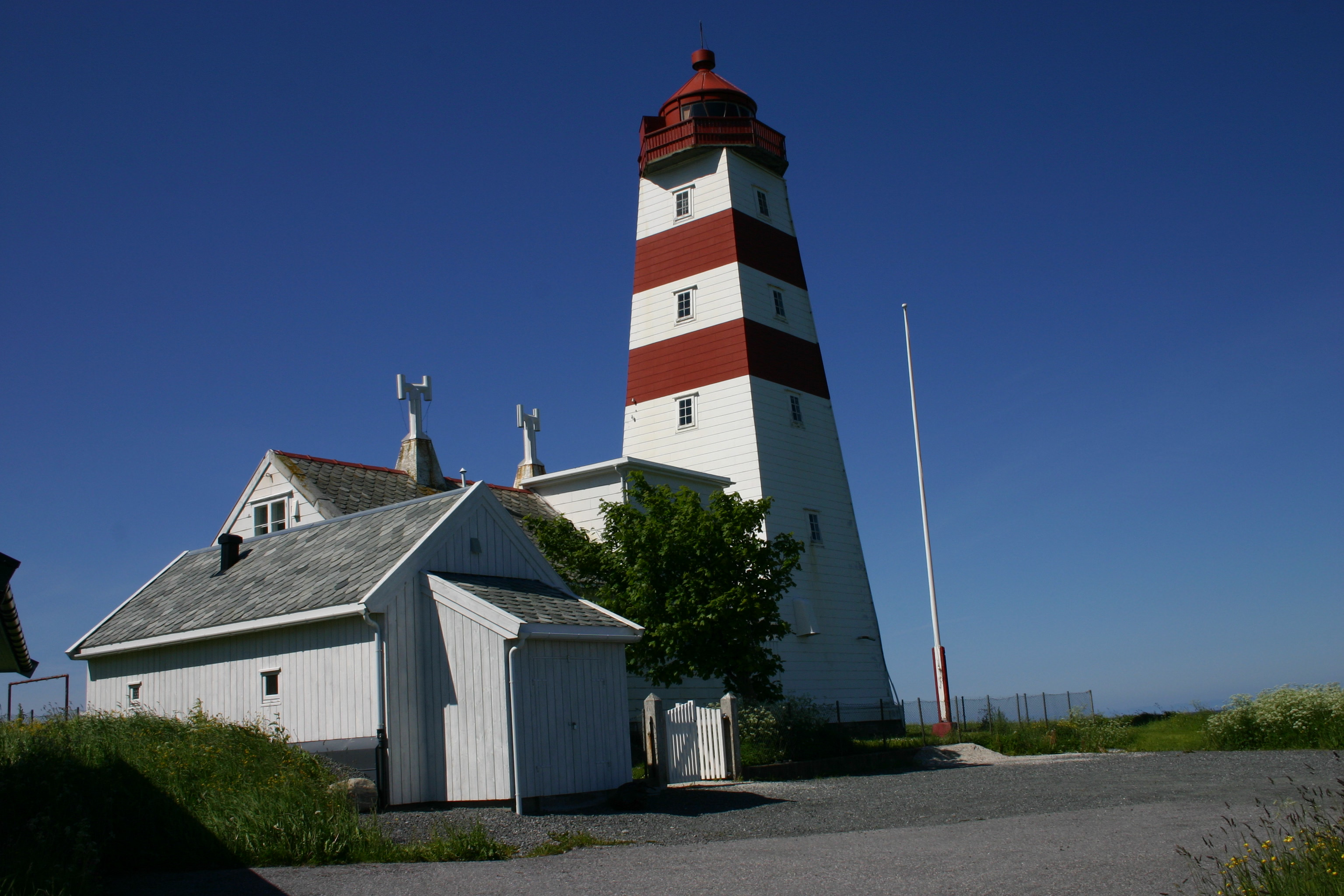
Alnes Lighthouse
Hareid, Norway
Alnes Lighthouse (Norwegian: Alnes fyrstasjon) was established in 1852 to guide fishing boats safely to the harbor of the small fishing community of Alnes on the north side of the island of Godøya in Giske Municipality in Møre og Romsdal county, Norway. The lighthouse sits about 4 kilometres (2.5 mi) northwest of Leitebakk.
- Category
- Photo Spots
- Location
- Hareid, Norway
- Coordinates
- 62.48333, 5.96667
- How to get there
- Google MapsApple MapsOpenStreetMap
- Wikidata
- Q773792
What is Alnes Lighthouse?
Alnes Lighthouse is a Photo Spots place on VeroMaps. Other places close by: Høgsteinen Lighthouse, Erkna Lighthouse, Grasøyane Lighthouse, Storholmen Lighthouse.
Where is Alnes Lighthouse?
Alnes Lighthouse is in Hareid, Norway. Coordinates: 62.48333, 5.96667.
How do I get to Alnes Lighthouse?
Alnes Lighthouse is at Hareid, Norway (62.48333, 5.96667). Enter these coordinates in Google Maps, Apple Maps or OpenStreetMap for walking, cycling or driving directions.