Photo corners
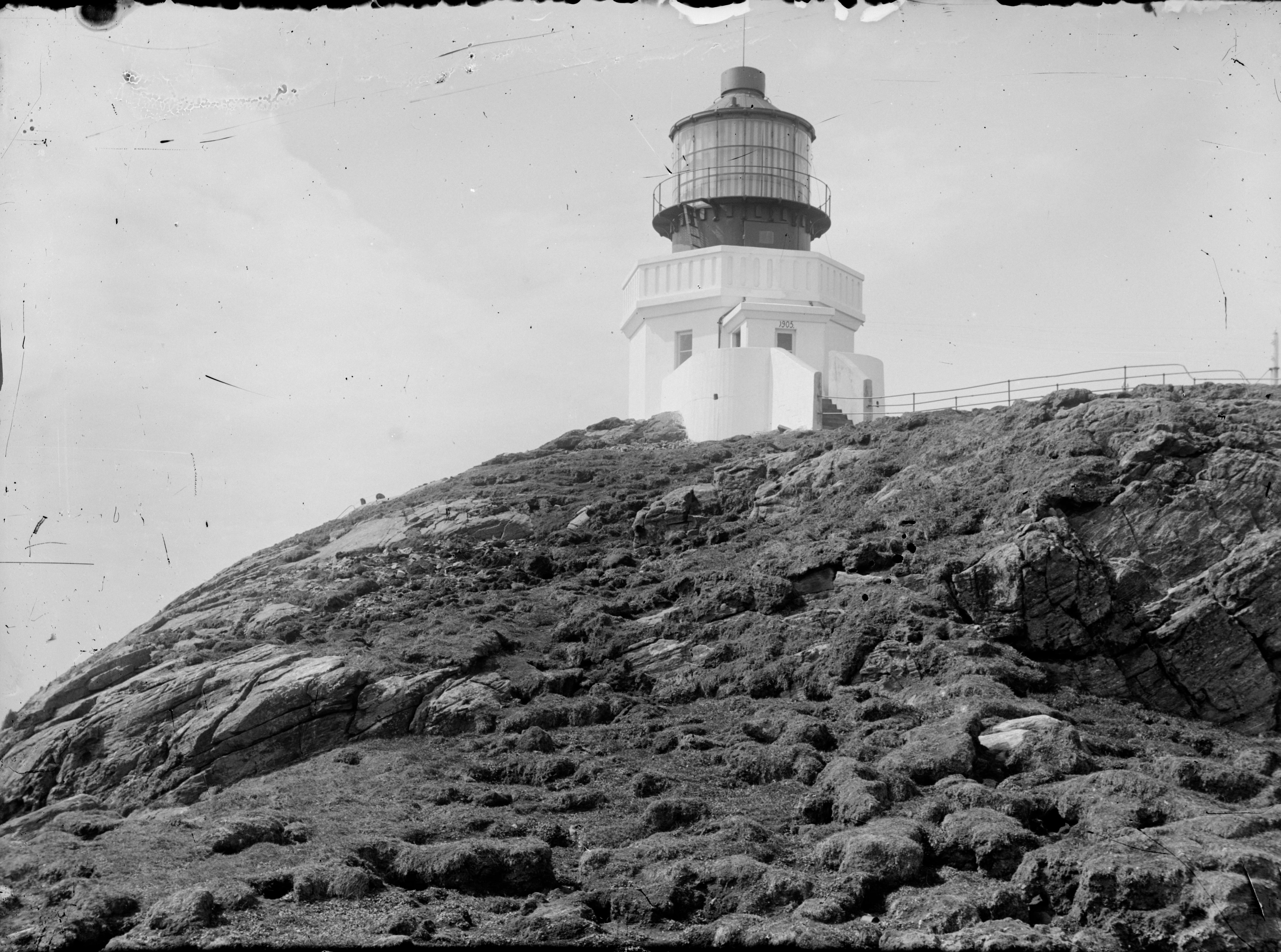
Svinøy Lighthouse
Selje, Norway
Svinøy Lighthouse (Norwegian: Svinøy fyrstasjon) is a fully automated lighthouse situated on the island of Svinøy in the sea off the Stad peninsula. It is located within Herøy Municipality in Møre og Romsdal county, on the western coast of Norway. The island lies within sight of the mainland and it is 6 kilometres (3.7 mi) from the nearest island. The island of Skorpa is located about 11 kilometres (6.8 mi) to the east. The island is 300 metres (980 ft) east to west and 900 metres (3,000 ft) north to south. The island rises 35 metres (115 ft) out of the sea and is exposed to severe climatic conditions year round.
- Category
- Photo Spots
- Location
- Selje, Norway
- Coordinates
- 62.33139, 5.26722
- How to get there
- Google MapsApple MapsOpenStreetMap
- Wikidata
- Q908184
What is Svinøy Lighthouse?
Svinøy Lighthouse is a Photo Spots place on VeroMaps. Other places close by: Haugsholmen Lighthouse, Grasøyane Lighthouse, Alnes Lighthouse, Høgsteinen Lighthouse.
Where is Svinøy Lighthouse?
Svinøy Lighthouse is in Selje, Norway. Coordinates: 62.33139, 5.26722.
How do I get to Svinøy Lighthouse?
Svinøy Lighthouse is at Selje, Norway (62.33139, 5.26722). Enter these coordinates in Google Maps, Apple Maps or OpenStreetMap for walking, cycling or driving directions.