Photo corners
Hestskjær Lighthouse
Bruhagen, Norway
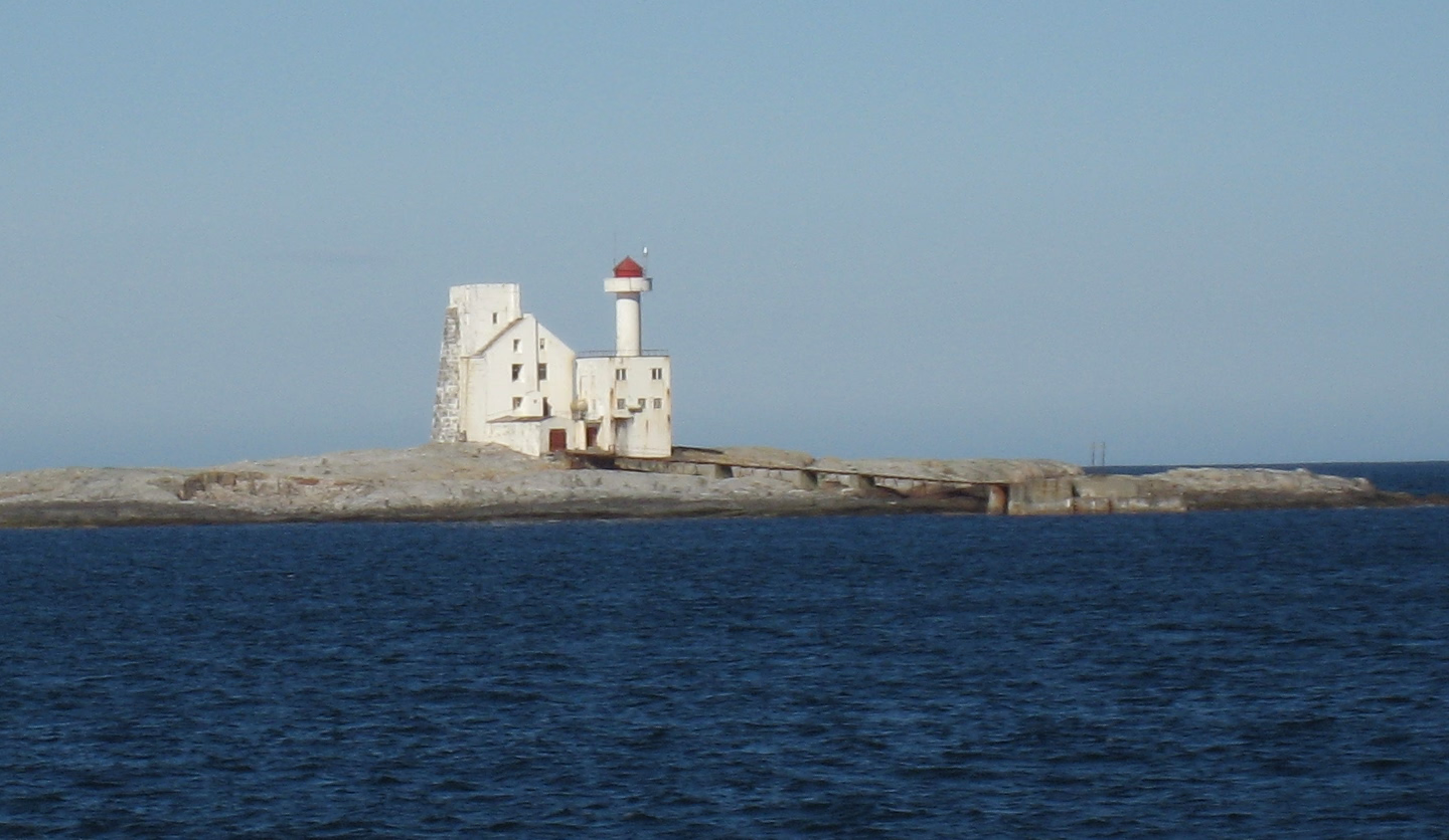
Hestskjær Lighthouse (Norwegian: Hestskjær fyr) is a coastal lighthouse located in Averøy Municipality in Møre og Romsdal county, Norway. It is located on a small island about 2 kilometres (1.2 mi) north of the village of Langøy. The lighthouse was established in 1879 and automated in 1986. The 21-metre (69 ft) tall lighthouse emits a white, red, or green light (depending on direction) occulting twice every 8 seconds. The tower is a round, cylindrical tower that is white with a red top. The 28,200 candela light can be seen for up to 15 nautical miles (28 km; 17 mi).
- Category
- Photo Spots
- Location
- Bruhagen, Norway
- Coordinates
- 63.08458, 7.49228
- How to get there
- Google MapsApple MapsOpenStreetMap
- Wikidata
- Q685779
What is Hestskjær Lighthouse?
Hestskjær Lighthouse is a Photo Spots place on VeroMaps. Other places close by: Stavnes Lighthouse, Grip Lighthouse, Bjørnsund Lighthouse, Tyrhaug Lighthouse.
Where is Hestskjær Lighthouse?
Hestskjær Lighthouse is in Bruhagen, Norway. Coordinates: 63.08458, 7.49228.
How do I get to Hestskjær Lighthouse?
Hestskjær Lighthouse is at Bruhagen, Norway (63.08458, 7.49228). Enter these coordinates in Google Maps, Apple Maps or OpenStreetMap for walking, cycling or driving directions.