Photo corners
Totteridge Green
London Borough of Barnet, United Kingdom
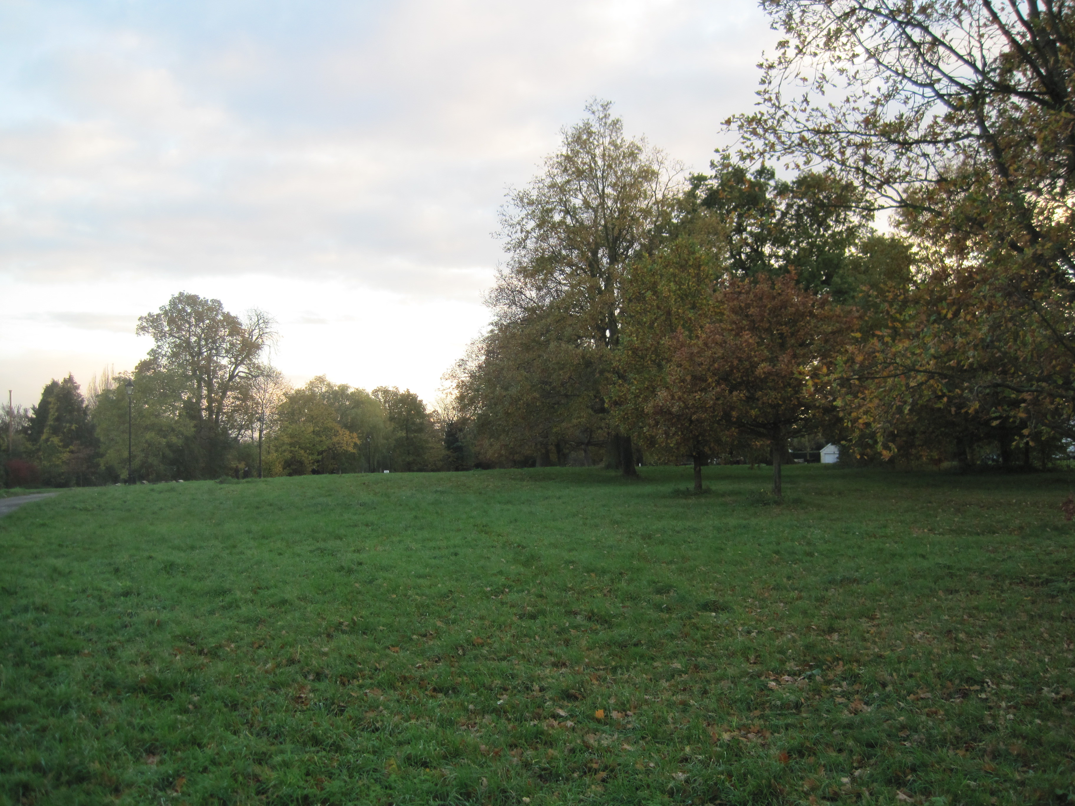
Totteridge Green is a five hectare Site of Borough Importance for Nature Conservation, Grade II, in Totteridge in the London Borough of Barnet. It is also registered common land. The nature reserve is the land on both sides of the road, Totteridge Green. A typical English village green, it comprises open grassland, small pockets of scrubby woodland and a pond. Much of the grassland is dominated by perennial rye-grass, with a good diversity of common wild flowers, and there are also areas of dry acid grassland. Several damp hollows, probably former ponds, contain tussocky grassland with uncommon wild flowers such as great burnet, bog stitchwort and common marsh-bedstraw. A map of the 1840s shows fourteen ponds, but only Laurel Farm Pond survives. This is frequented by large numbers of geese and mallards. Trees include pedunculate oak, beech and horse chestnut. The site includes a short footpath through woods to Coppice Walk, and there is also access from Totteridge Village and Laurel Way. A footpath which starts next to Laurel Farm Pond goes through Folly Brook Valley to Woodside Park.
- Category
- Photo Spots
- Location
- London Borough of Barnet, United Kingdom
- Coordinates
- 51.62810, -0.19530
- How to get there
- Google MapsApple MapsOpenStreetMap
- Wikidata
- Q7828478
What is Totteridge Green?
Totteridge Green is a Photo Spots place on VeroMaps. Other places close by: Woodridge Nature Reserve, Darland's Lake, Northern Line Embankment, High Barnet, Mill Hill Substation Pastures.
Where is Totteridge Green?
Totteridge Green is in London Borough of Barnet, United Kingdom. Coordinates: 51.62810, -0.19530.
How do I get to Totteridge Green?
Totteridge Green is at London Borough of Barnet, United Kingdom (51.62810, -0.19530). Enter these coordinates in Google Maps, Apple Maps or OpenStreetMap for walking, cycling or driving directions.