Photo corners
Barfield Allotments Nature Park
London Borough of Barnet, United Kingdom
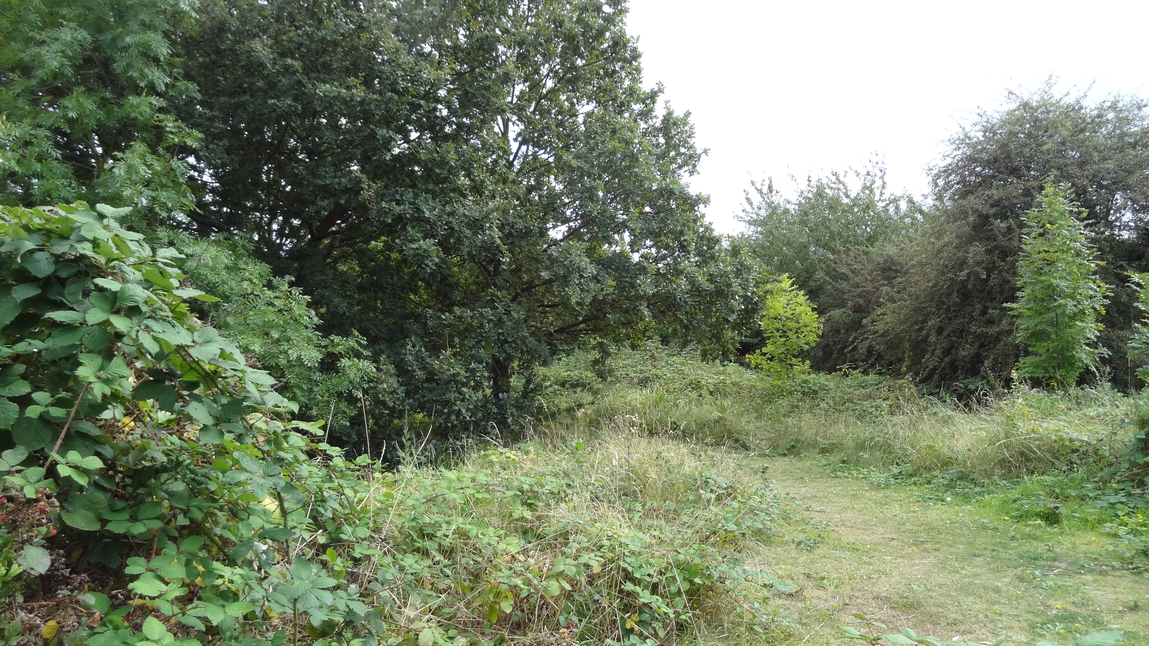
Barfield Allotments Nature Park is a small Site of Local Importance for Nature Conservation in Whetstone in the London Borough of Barnet. It was formerly used as allotments, and when these were abandoned there were plans to turn it into a formal play area, but this met with local opposition when slow worms and common lizards were found, showing its value for wildlife. A small playground was installed in the north-east corner, while the remainder became a wildlife site. Some plum and apple trees remain from the time when it was allotments, but it has now changed from grassland to scrub. The site has been partially cleared to create a species-rich mosaic, and a native hedgerow has been planted along the boundary. A pond and marshy area have also been created for amphibians, taking advantage of a natural spring. The entrance to the site is in the playground off Barfield Avenue, but there is no public access, apart from school parties by arrangement.
- Category
- Photo Spots
- Location
- London Borough of Barnet, United Kingdom
- Coordinates
- 51.62700, -0.15800
- How to get there
- Google MapsApple MapsOpenStreetMap
- Wikidata
- Q4860497
What is Barfield Allotments Nature Park?
Barfield Allotments Nature Park is a Photo Spots place on VeroMaps. Other places close by: Oakleigh Park Rail Cutting, Northern Line Embankment, High Barnet, The Alexandra, New Barnet, Ye Olde Cherry Tree.
Where is Barfield Allotments Nature Park?
Barfield Allotments Nature Park is in London Borough of Barnet, United Kingdom. Coordinates: 51.62700, -0.15800.
How do I get to Barfield Allotments Nature Park?
Barfield Allotments Nature Park is at London Borough of Barnet, United Kingdom (51.62700, -0.15800). Enter these coordinates in Google Maps, Apple Maps or OpenStreetMap for walking, cycling or driving directions.