Photo corners
Copthall Railway Walk and Copthall Old Common
London Borough of Barnet, United Kingdom
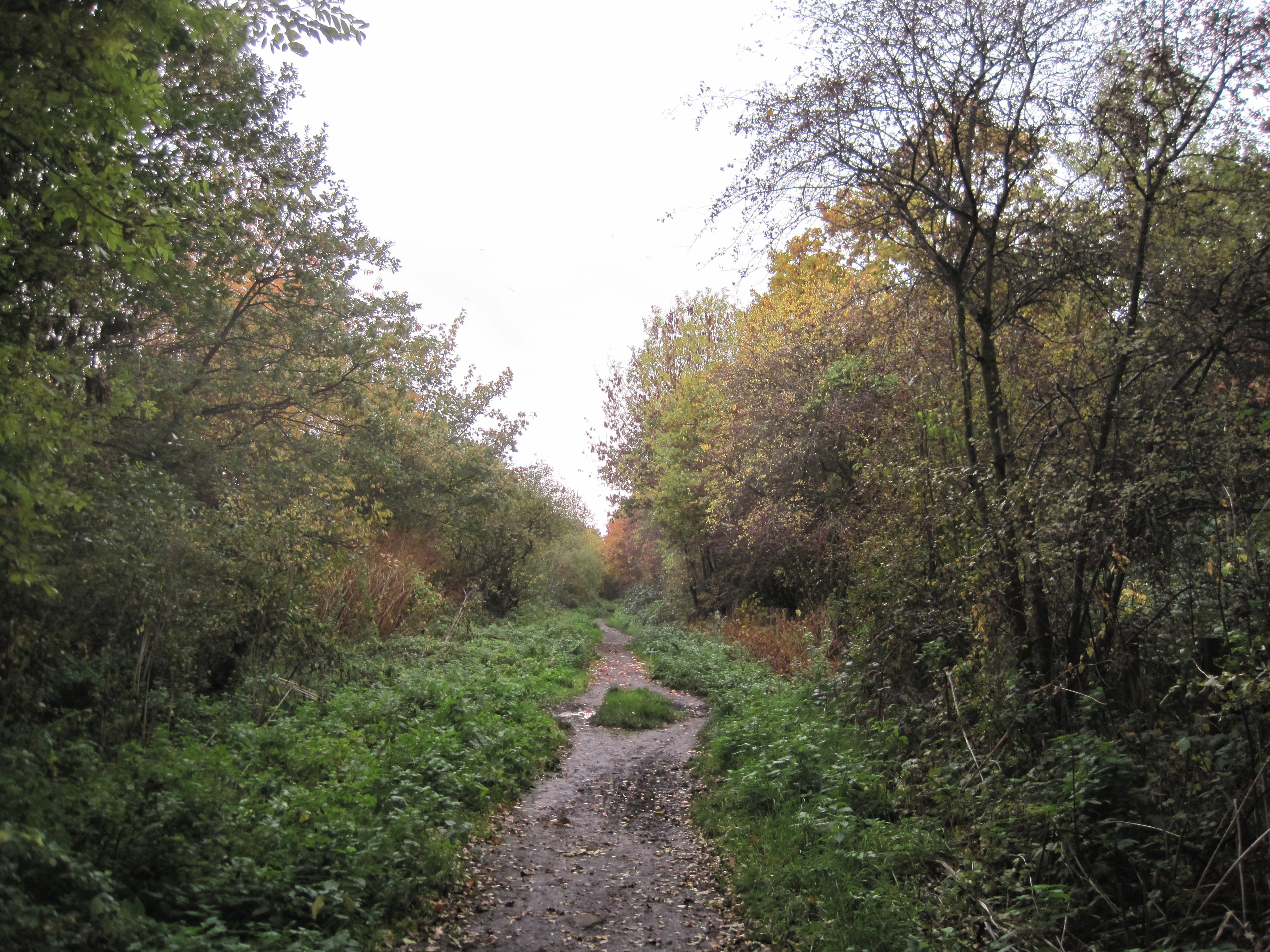
Copthall Railway Walk and Copthall Old Common is a 9-hectare (22-acre) Site of Borough Importance for Nature Conservation, Grade II, in Mill Hill in the London Borough of Barnet. Copthall Railway Walk is a section just under a mile long of the Mill Hill East to Edgware line, closed in 1964, of the Edgware, Highgate and London Railway. It starts at a bridge under Sanders Lane, near Bittacy Hill, and passes another bridge under Sanders Lane near Bittacy Rise, finishing at Page Street. Copthall Old Common is south of the central section of the Railway Walk. To the south of the common is a green lane which goes by a public footpath through allotments to the Great North Way. The reserve is mainly woodland, with some scrub and rough grassland. The woodland is dominated by sycamore, oak and silver birch. The site has a good range of common birds and the rare and declining glow worm. The Common has some fine old oaks, and bluebells in the hedge bottom.
- Category
- Photo Spots
- Location
- London Borough of Barnet, United Kingdom
- Coordinates
- 51.60730, -0.22350
- How to get there
- Google MapsApple MapsOpenStreetMap
- Wikidata
- Q5169003
What is Copthall Railway Walk and Copthall Old Common?
Copthall Railway Walk and Copthall Old Common is a Photo Spots place on VeroMaps. Other places close by: Drivers Hill, Mill Hill Substation Pastures, Darland's Lake, Rising Sun.
Where is Copthall Railway Walk and Copthall Old Common?
Copthall Railway Walk and Copthall Old Common is in London Borough of Barnet, United Kingdom. Coordinates: 51.60730, -0.22350.
How do I get to Copthall Railway Walk and Copthall Old Common?
Copthall Railway Walk and Copthall Old Common is at London Borough of Barnet, United Kingdom (51.60730, -0.22350). Enter these coordinates in Google Maps, Apple Maps or OpenStreetMap for walking, cycling or driving directions.