Photo corners
Mill Hill Substation Pastures
London Borough of Barnet, United Kingdom
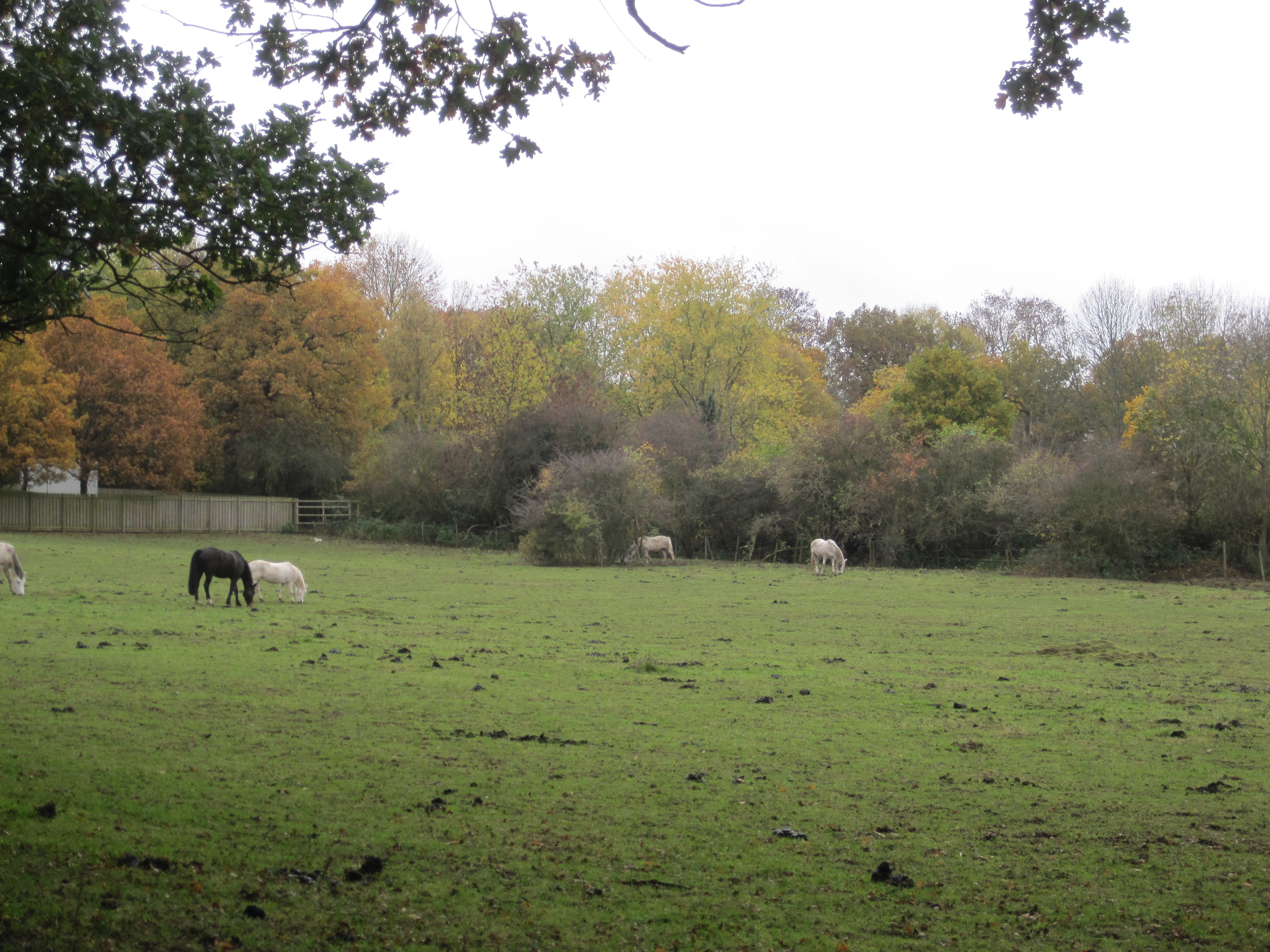
Mill Hill Substation Pastures is a fifteen-hectare Site of Metropolitan Importance for Nature Conservation in Mill Hill in the London Borough of Barnet. The reserve consists of pastures grazed by horses around Mill Hill Electricity Substation. These contain patches of unimproved herb-rich pasture on damp clay soil. Locally uncommon plants include devil's bit scabious, sneezewort, pepper-saxifrage and red bartsia. The dividing hedges appear to be very old, and Burtonhole Brook, a tributary of Folly Brook, flows through the site, adding to its diversity of habitat. The hedgerows and woodland provide a refuge for birds. The reserve is on private land, but it can be viewed from Burtonhole Lane and Partingdale Lane.
- Category
- Photo Spots
- Location
- London Borough of Barnet, United Kingdom
- Coordinates
- 51.61680, -0.21060
- How to get there
- Google MapsApple MapsOpenStreetMap
- Wikidata
- Q6858342
What is Mill Hill Substation Pastures?
Mill Hill Substation Pastures is a Photo Spots place on VeroMaps. Other places close by: Drivers Hill, Darland's Lake, Woodridge Nature Reserve, Copthall Railway Walk and Copthall Old Common.
Where is Mill Hill Substation Pastures?
Mill Hill Substation Pastures is in London Borough of Barnet, United Kingdom. Coordinates: 51.61680, -0.21060.
How do I get to Mill Hill Substation Pastures?
Mill Hill Substation Pastures is at London Borough of Barnet, United Kingdom (51.61680, -0.21060). Enter these coordinates in Google Maps, Apple Maps or OpenStreetMap for walking, cycling or driving directions.