Photo corners
Svenska Högarna
Norrtälje Municipality, Sweden
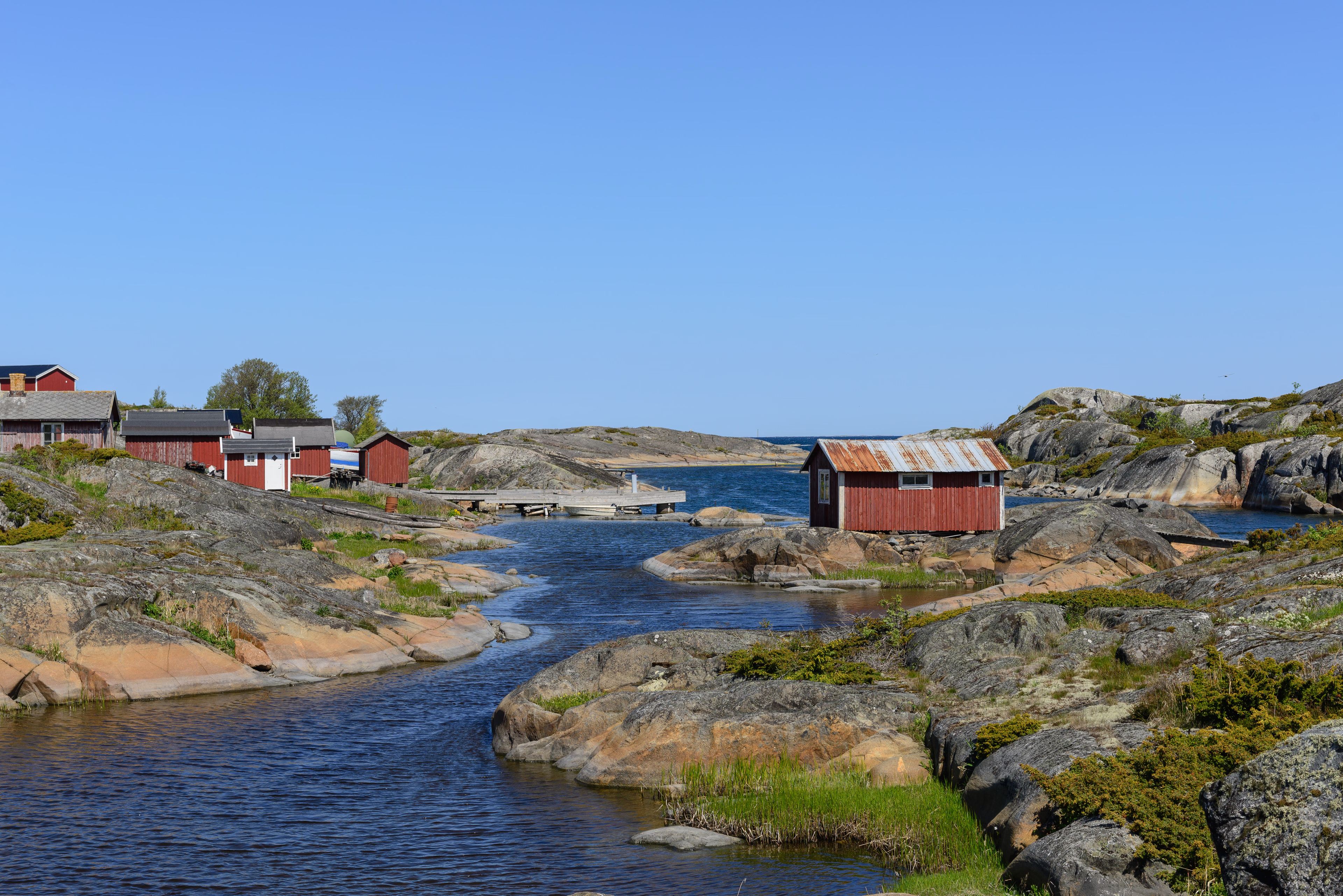
Svenska Högarna (English: Swedish Hillocks) is a small group of islands and a lighthouse located east of Möja in the Stockholm archipelago.
- Category
- Photo Spots
- Location
- Norrtälje Municipality, Sweden
- Coordinates
- 59.43169, 19.49606
- How to get there
- Google MapsApple MapsOpenStreetMap
- Wikidata
- Q5238909
What is Svenska Högarna?
Svenska Högarna is a Photo Spots place on VeroMaps. Other places close by: Almagrundet lighthouse, Hjälmö-Lådna, Ängsö National Park, Penningby Castle.
Where is Svenska Högarna?
Svenska Högarna is in Norrtälje Municipality, Sweden. Coordinates: 59.43169, 19.49606.
How do I get to Svenska Högarna?
Svenska Högarna is at Norrtälje Municipality, Sweden (59.43169, 19.49606). Enter these coordinates in Google Maps, Apple Maps or OpenStreetMap for walking, cycling or driving directions.