Photo corners
Nackareservatet
Stockholm Municipality, Sweden
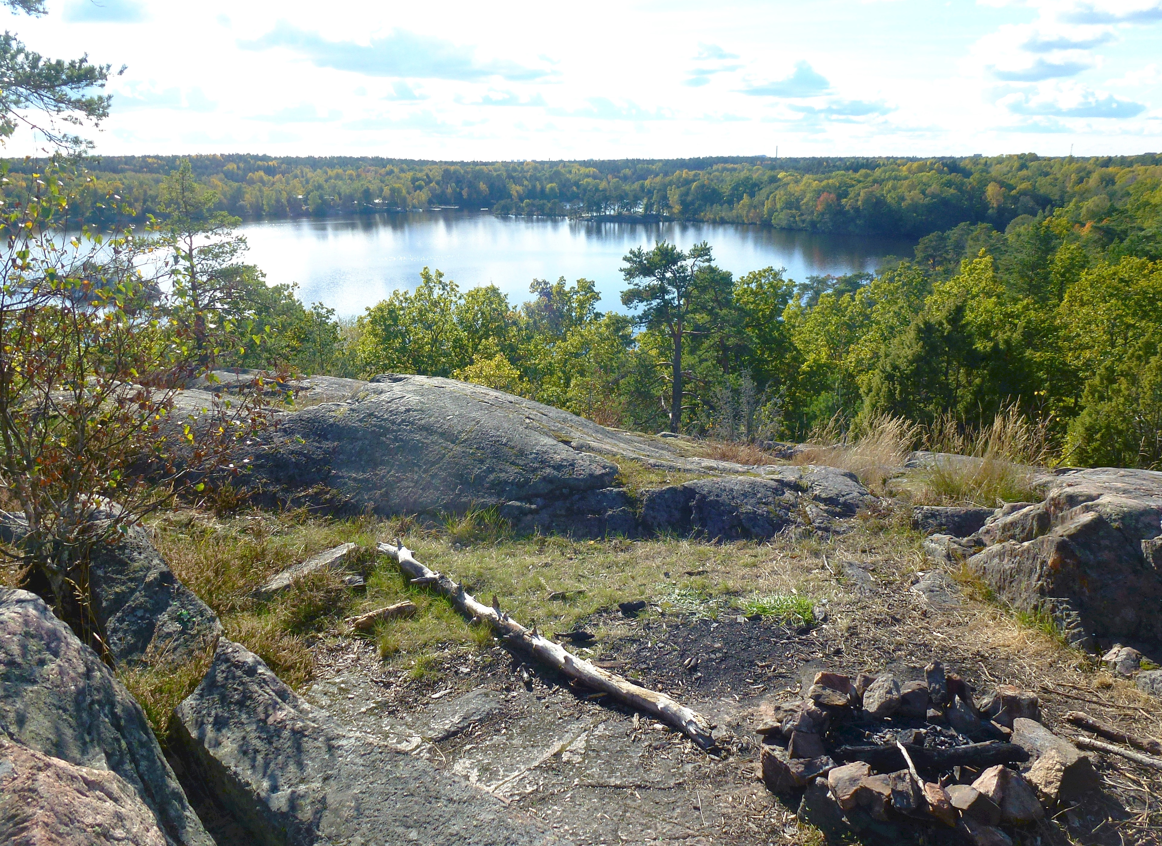
Nackareservatet is a nature reserve along the border between Stockholm and Nacka Municipality in Sweden. The area includes small lakes. with a natural setting typical of the southern Stockholm area. There are pine trees, rocky outcrops, and wetlands with small brooks. The area is used for several outdoor activities like walking and jogging, orienteering, skiing, ice skating, and summer and winter bathing. A golf course lies close to the district of Björkhagen.
- Category
- Photo Spots
- Location
- Stockholm Municipality, Sweden
- Coordinates
- 59.28222, 18.16528
- How to get there
- Google MapsApple MapsOpenStreetMap
- Wikidata
- Q6957282
What is Nackareservatet?
Nackareservatet is a Photo Spots place on VeroMaps. Other places close by: Svindersvik, Blockhusudden lighthouse, Docklands, Rylander & Rudolphs Fabriks AB.
Where is Nackareservatet?
Nackareservatet is in Stockholm Municipality, Sweden. Coordinates: 59.28222, 18.16528.
How do I get to Nackareservatet?
Nackareservatet is at Stockholm Municipality, Sweden (59.28222, 18.16528). Enter these coordinates in Google Maps, Apple Maps or OpenStreetMap for walking, cycling or driving directions.