Photo corners
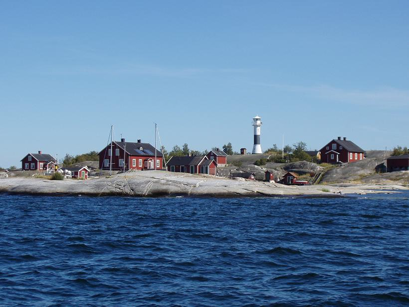
Huvudskär
Haninge Municipality, Sweden
Huvudskär is a Swedish archipelago, consisting of about 200 rocks and islands, and a lighthouse. It is located in the Baltic Sea, in the southern part of the Stockholm archipelago. For many hundred years this area was very important for fishermen. Huvudskär is a very popular destination for sea travellers and tourists.
- Category
- Photo Spots
- Location
- Haninge Municipality, Sweden
- Coordinates
- 58.96788, 18.56110
- How to get there
- Google MapsApple MapsOpenStreetMap
- Wikidata
- Q5951207
What is Huvudskär?
Huvudskär is a Photo Spots place on VeroMaps. Other places close by: Utö gruvor, Gålö, Gullringskärret, Häringe-Hammersta nature reserve.
Where is Huvudskär?
Huvudskär is in Haninge Municipality, Sweden. Coordinates: 58.96788, 18.56110.
How do I get to Huvudskär?
Huvudskär is at Haninge Municipality, Sweden (58.96788, 18.56110). Enter these coordinates in Google Maps, Apple Maps or OpenStreetMap for walking, cycling or driving directions.