Photo corners
Ängsö National Park
Norrtälje Municipality, Sweden
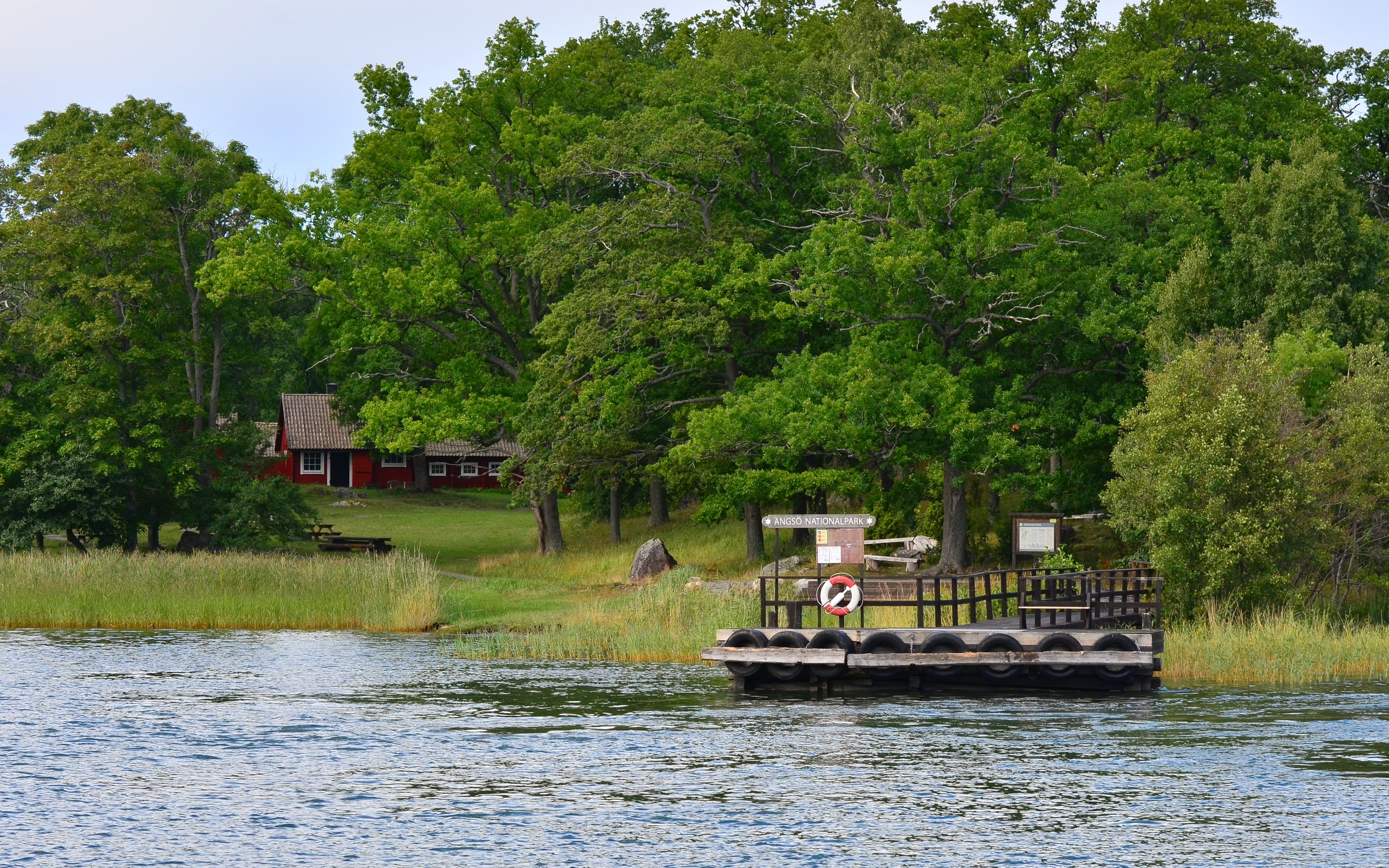
Ängsö is a Swedish national park. It is renowned for its wonderful nature and a pleasing agricultural landscape which was not destroyed by technical civilization. The park can only be reached by water. There are natural harbors and a wharf on the shores of the island.
- Category
- Photo Spots
- Location
- Norrtälje Municipality, Sweden
- Coordinates
- 59.62361, 18.76389
- How to get there
- Google MapsApple MapsOpenStreetMap
- Wikidata
- Q1568129
What is Ängsö National Park?
Ängsö National Park is a Photo Spots place on VeroMaps. Other places close by: Penningby Castle, Hjälmö-Lådna, Domarudden, Tunaborgen.
Where is Ängsö National Park?
Ängsö National Park is in Norrtälje Municipality, Sweden. Coordinates: 59.62361, 18.76389.
How do I get to Ängsö National Park?
Ängsö National Park is at Norrtälje Municipality, Sweden (59.62361, 18.76389). Enter these coordinates in Google Maps, Apple Maps or OpenStreetMap for walking, cycling or driving directions.