Photo corners
Sula Lighthouse
Sistranda, Norway
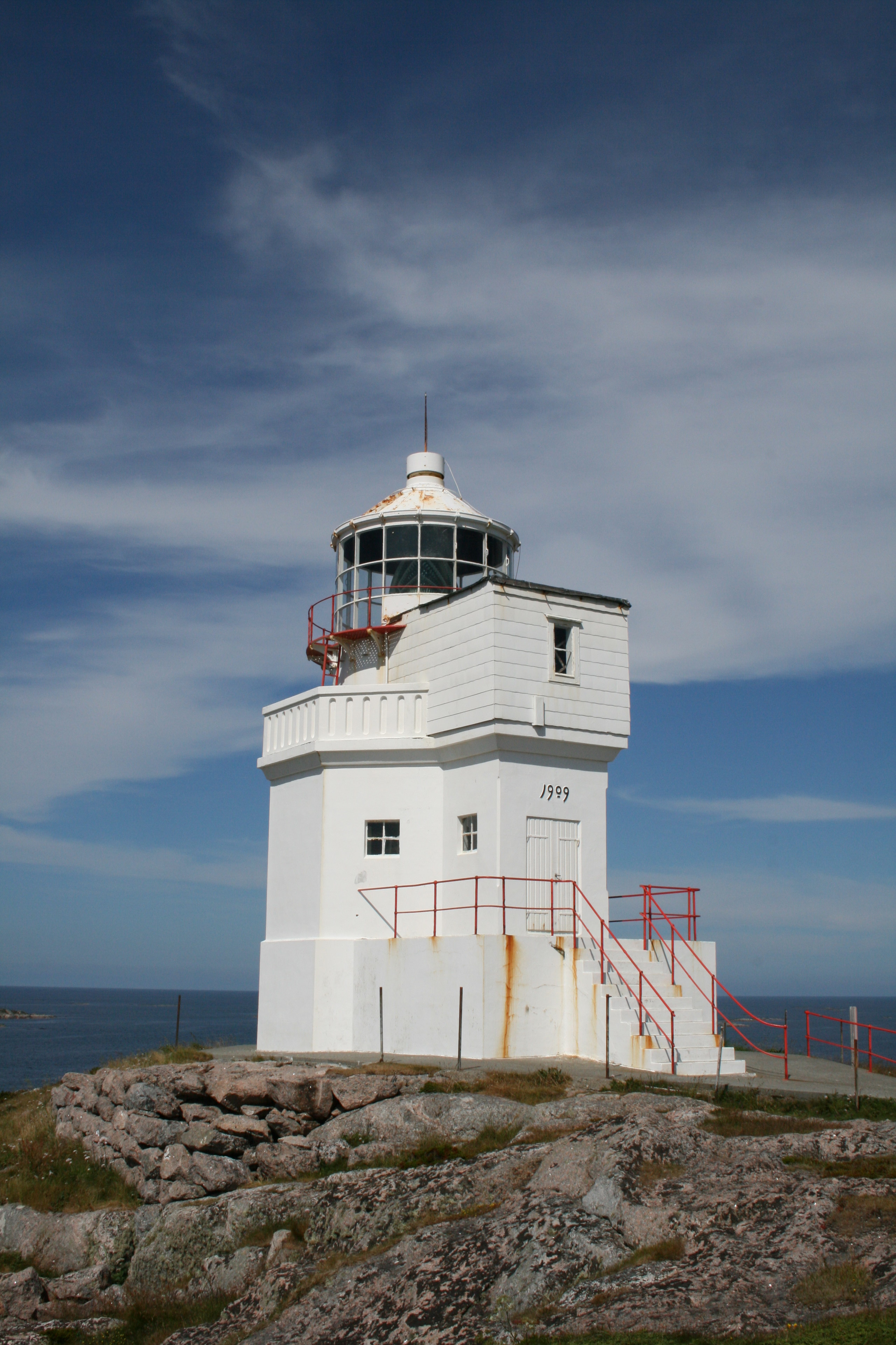
Sula Lighthouse (Norwegian: Sula fyr) is a coastal lighthouse in Frøya Municipality in Trøndelag county, Norway. The lighthouse is located on the island of Sula. The lighthouse was originally built here in 1793 and another in 1804. The current tower was built in 1909. It is part of a series of lighthouses along the Froan islands in Frøya including the Finnvær Lighthouse, Vingleia Lighthouse, and Halten Lighthouse. It is lit from July 21 until May 16 each year. It is not lit during the summer due to the midnight sun of the region.
- Category
- Photo Spots
- Location
- Sistranda, Norway
- Coordinates
- 63.84720, 8.45278
- How to get there
- Google MapsApple MapsOpenStreetMap
- Wikidata
- Q1774730
What is Sula Lighthouse?
Sula Lighthouse is a Photo Spots place on VeroMaps. Other places close by: Vingleia Lighthouse, Sletringen Lighthouse, Finnvær Lighthouse, Haugjegla Lighthouse.
Where is Sula Lighthouse?
Sula Lighthouse is in Sistranda, Norway. Coordinates: 63.84720, 8.45278.
How do I get to Sula Lighthouse?
Sula Lighthouse is at Sistranda, Norway (63.84720, 8.45278). Enter these coordinates in Google Maps, Apple Maps or OpenStreetMap for walking, cycling or driving directions.