Photo corners
Terningen Lighthouse
Fillan, Norway
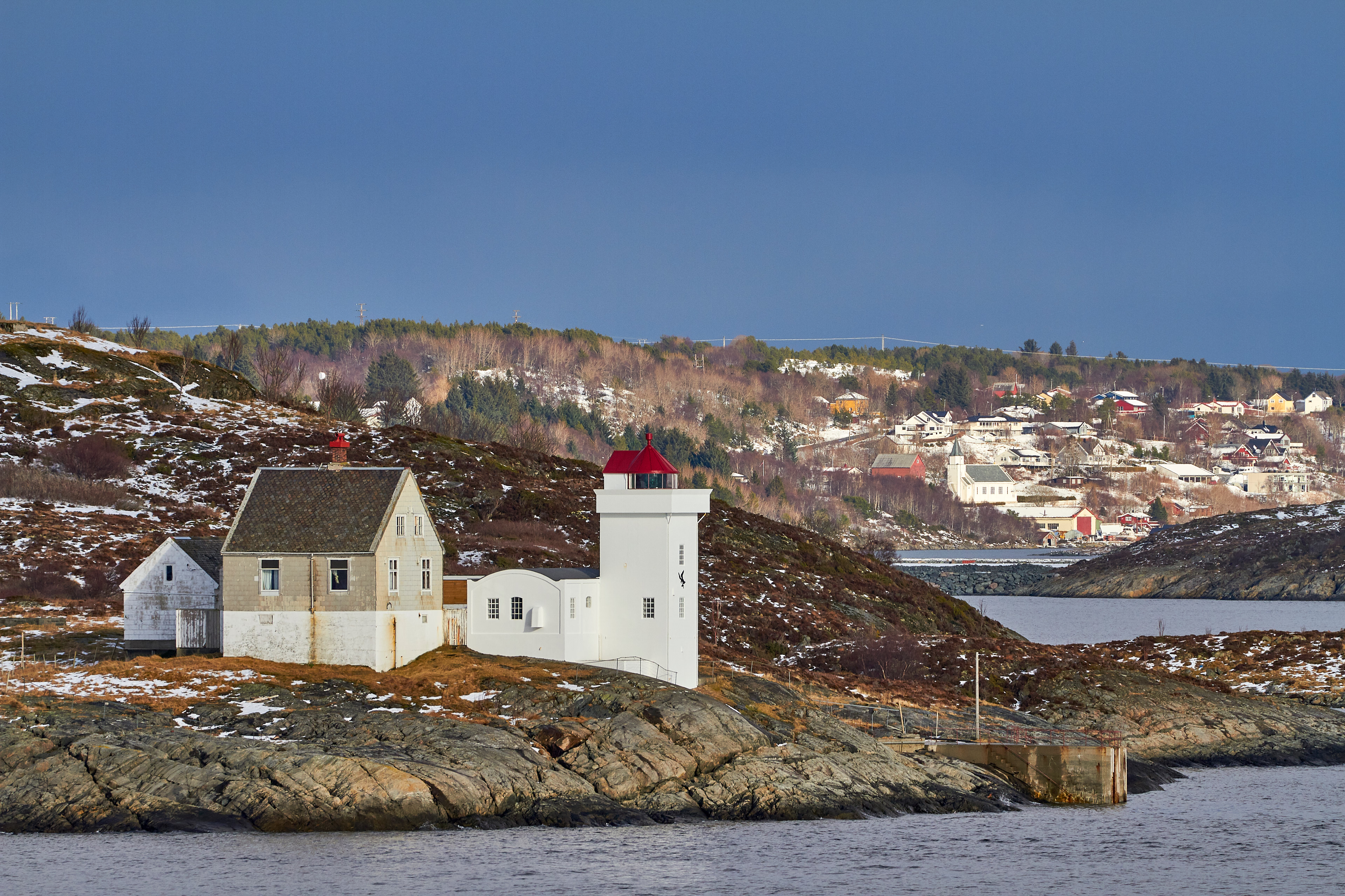
Terningen Lighthouse (Norwegian: Terningen fyr) is a lighthouse in Hitra Municipality in Trøndelag county, Norway. The lighthouse is located in the Trondheimsleia near the mouth of the Hemnfjorden, just west of the island of Hemnskjela, and about 4 kilometres (2.5 mi) southwest of the village of Sandstad. The light marks one of the main channels that leads to the Trondheimsfjorden. The 12-metre (39 ft) tall lighthouse has an occulting light that flashes white, red, and green (depending on direction) once every six seconds at an elevation of 17.8 metres (58 ft) above sea level. The concrete tower is painted white and it has a red roof. The 30,700-candela light can be seen for up to 13 nautical miles (24 km; 15 mi). The light is activated from July 21 until May 16 each year. The light is inactive and unnecessary during the late spring and early summer due to the midnight sun.
- Category
- Photo Spots
- Location
- Fillan, Norway
- Coordinates
- 63.49390, 9.03917
- How to get there
- Google MapsApple MapsOpenStreetMap
- Wikidata
- Q3429636
What is Terningen Lighthouse?
Terningen Lighthouse is a Photo Spots place on VeroMaps. Other places close by: Børøyholmen Lighthouse, MAB 1./507 Husøya, Sletringen Lighthouse, Tyrhaug Lighthouse.
Where is Terningen Lighthouse?
Terningen Lighthouse is in Fillan, Norway. Coordinates: 63.49390, 9.03917.
How do I get to Terningen Lighthouse?
Terningen Lighthouse is at Fillan, Norway (63.49390, 9.03917). Enter these coordinates in Google Maps, Apple Maps or OpenStreetMap for walking, cycling or driving directions.