Photo corners
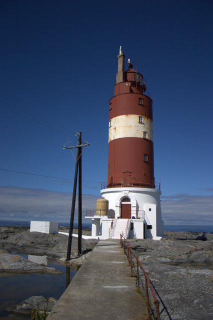
Haugjegla Lighthouse
Hopen, Norway
Haugjegla Lighthouse (Norwegian: Haugjegla fyr; also spelled: Hauggjegla) is a coastal lighthouse located in Smøla Municipality in Møre og Romsdal county, Norway. It is located on a waveswept skerry about 1 kilometre (0. 62 mi) north of Veiholmen on the north side of the island of Smøla.
- Category
- Photo Spots
- Location
- Hopen, Norway
- Coordinates
- 63.53139, 7.96722
- How to get there
- Google MapsApple MapsOpenStreetMap
- Wikidata
- Q908231
What is Haugjegla Lighthouse?
Haugjegla Lighthouse is a Photo Spots place on VeroMaps. Other places close by: Skalmen Lighthouse, Sletringen Lighthouse, Tyrhaug Lighthouse, Grip Lighthouse.
Where is Haugjegla Lighthouse?
Haugjegla Lighthouse is in Hopen, Norway. Coordinates: 63.53139, 7.96722.
How do I get to Haugjegla Lighthouse?
Haugjegla Lighthouse is at Hopen, Norway (63.53139, 7.96722). Enter these coordinates in Google Maps, Apple Maps or OpenStreetMap for walking, cycling or driving directions.