Photo corners
Rockabill Lighthouse
Skerries, Ireland
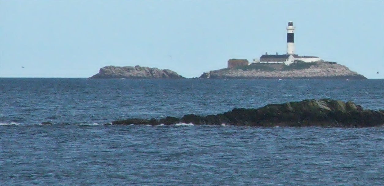
Rockabill Lighthouse is an active lighthouse from the 19th century on the larger of the two islands that form Rockabill. It lies around 5 kilometres (3.1 mi) off of the east coast of Skerries, County Dublin, Ireland. It is maintained by the Commissioners of Irish Lights.
- Category
- Photo Spots
- Location
- Skerries, Ireland
- Coordinates
- 53.60000, -6.00000
- How to get there
- Google MapsApple MapsOpenStreetMap
- Wikidata
- Q15272902
What is Rockabill Lighthouse?
Rockabill Lighthouse is a Photo Spots place on VeroMaps. Other places close by: Ardgillan Castle, Bon Appétit, Malahide Castle, Swords Castle.
Where is Rockabill Lighthouse?
Rockabill Lighthouse is in Skerries, Ireland. Coordinates: 53.60000, -6.00000.
How do I get to Rockabill Lighthouse?
Rockabill Lighthouse is at Skerries, Ireland (53.60000, -6.00000). Enter these coordinates in Google Maps, Apple Maps or OpenStreetMap for walking, cycling or driving directions.