Photo corners
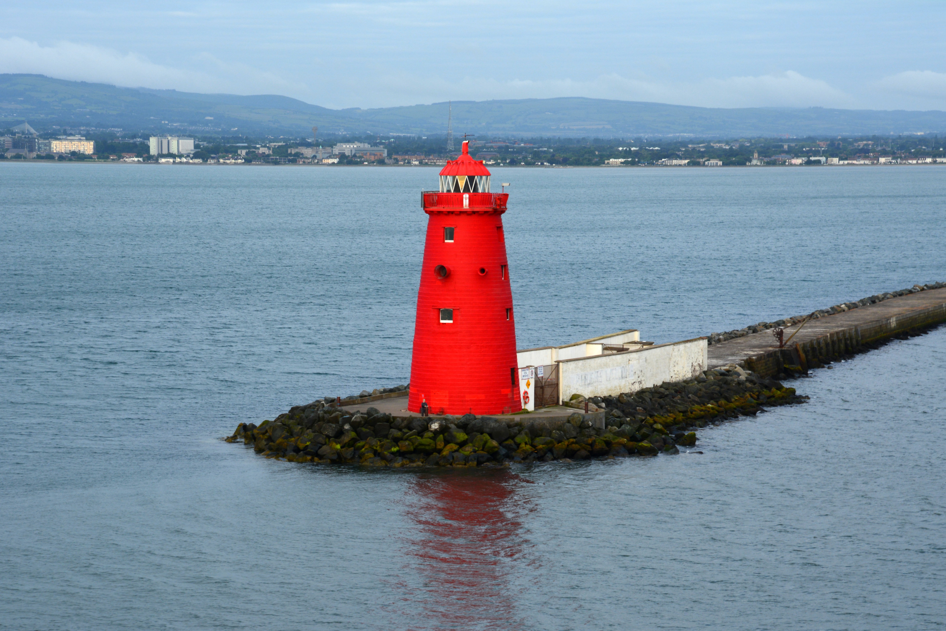
Poolbeg Lighthouse
Dollymount, Ireland
Poolbeg Lighthouse (Irish: Teach Solais an Phoill Bhig) is an active aid to navigation at the mouth of the River Liffey, near Poolbeg in Dublin, Ireland. First established in 1767, it initially operated on candlepower but this was changed to oil in 1786. It was re-designed and re-built into its present form in 1820.
- Category
- Photo Spots
- Location
- Dollymount, Ireland
- Coordinates
- 53.34210, -6.15170
- How to get there
- Google MapsApple MapsOpenStreetMap
- Wikidata
- Q7228600
What is Poolbeg Lighthouse?
Poolbeg Lighthouse is a Photo Spots place on VeroMaps. Other places close by: Clontarf Castle, Baggotrath Castle, L'Ecrivain, Doheny & Nesbitt.
Where is Poolbeg Lighthouse?
Poolbeg Lighthouse is in Dollymount, Ireland. Coordinates: 53.34210, -6.15170.
How do I get to Poolbeg Lighthouse?
Poolbeg Lighthouse is at Dollymount, Ireland (53.34210, -6.15170). Enter these coordinates in Google Maps, Apple Maps or OpenStreetMap for walking, cycling or driving directions.