Photo corners
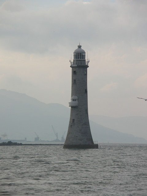
Haulbowline Lighthouse
BT34, United Kingdom
The Haulbowline Lighthouse is an active 19th century lighthouse. Described as an "elegant, tapering stone tower" it is located at the entrance to Carlingford Lough, near Cranfield Point in County Down, the southernmost point of Northern Ireland.
- Category
- Photo Spots
- Location
- BT34, United Kingdom
- Address
- Haulbowline Lighthouse, BT34
- Coordinates
- 54.01410, -6.08014
- How to get there
- Google MapsApple MapsOpenStreetMap
- Wikidata
- Q17861631
What is Haulbowline Lighthouse?
Haulbowline Lighthouse is a Photo Spots place on VeroMaps, on Haulbowline Lighthouse. Other places close by: Green Island Leading Light, Faughart, Goward Dolmen, Clochafarmore.
Where is Haulbowline Lighthouse?
Haulbowline Lighthouse is in BT34, United Kingdom. Coordinates: 54.01410, -6.08014.
How do I get to Haulbowline Lighthouse?
Haulbowline Lighthouse is at Haulbowline Lighthouse, BT34, United Kingdom (54.01410, -6.08014). Enter these coordinates in Google Maps, Apple Maps or OpenStreetMap for walking, cycling or driving directions.