Forgotten History
Swords Castle
Swords, Ireland
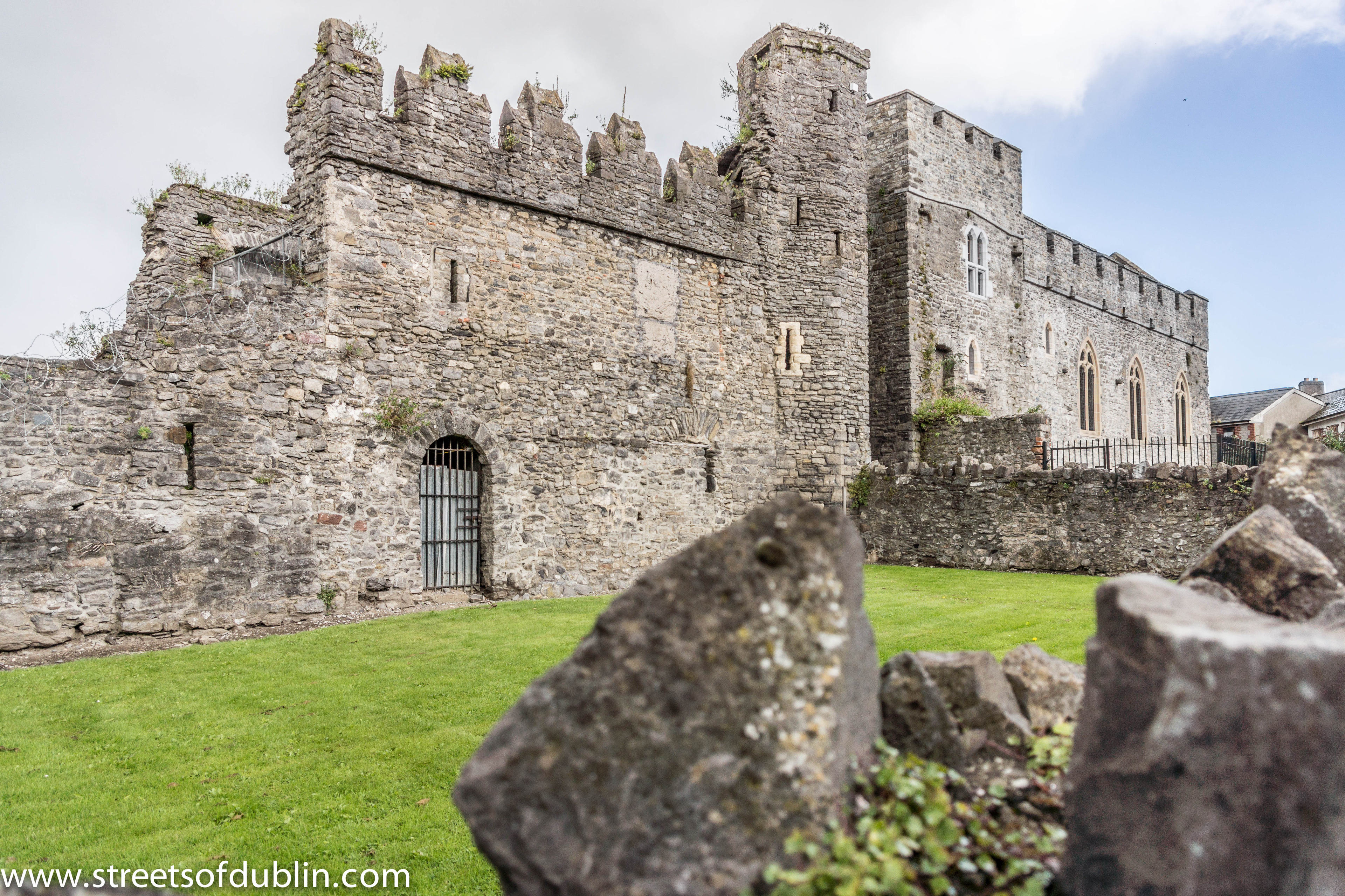
Swords Castle is an early medieval castle located in Swords, County Dublin. Originally built for the Archbishops of Dublin in the early 13th century near the Ward River, some of the castle estate had fallen into disrepair by the 14th and 15th centuries. At least partially occupied through the 16th and 17th centuries, the castle was used as a place of rendezvous by Anglo-Irish Catholic families during the 1641 Rebellion. The site was afforded protection as a national monument and placed under the guardianship of the Office of Public Works in the early 20th century. As of the late 20th and early 21st century, the site was subject to a program of "long-term phased restoration", and is partially opened for tours. The site is listed on Fingal County Council's Record of Protected Structures.
- Category
- Forgotten History
- Location
- Swords, Ireland
- Coordinates
- 53.46030, -6.21999
- How to get there
- Google MapsApple MapsOpenStreetMap
- Wikidata
- Q430193
What is Swords Castle?
Swords Castle is a Forgotten History place on VeroMaps. Other places close by: Malahide Castle, Bon Appétit, Clontarf Castle, An Stad.
Where is Swords Castle?
Swords Castle is in Swords, Ireland. Coordinates: 53.46030, -6.21999.
How do I get to Swords Castle?
Swords Castle is at Swords, Ireland (53.46030, -6.21999). Enter these coordinates in Google Maps, Apple Maps or OpenStreetMap for walking, cycling or driving directions.