Forgotten History
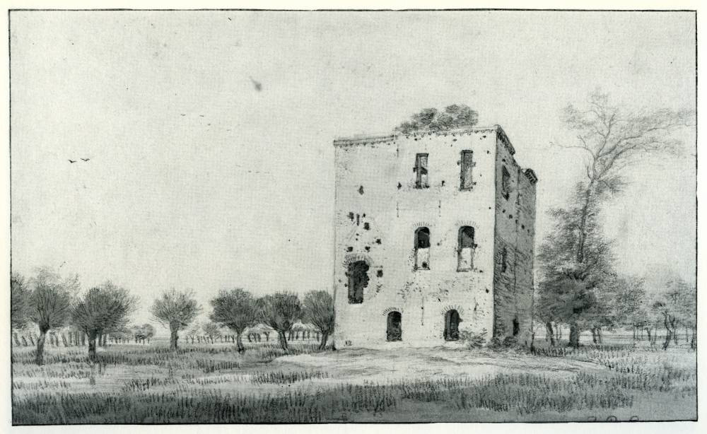
Ridderhofstad Heemstede
Nieuwegein, Netherlands
Heemstede (also: Oud-Heemstede) was a fortified manor (ridderhofstad) located in the eastern part of Jutphaas, close to the border between Houten and Nieuwegein, about 500 meters from the current Heemstede Castle. At the end of the 17th century, the fortified manor was demolished. The fortified manor and the later Heemstede Castle were inhabited for centuries by members of the Van Winssen family.
- Category
- Forgotten History
- Location
- Nieuwegein, Netherlands
- Coordinates
- 52.02708, 5.11974
- How to get there
- Google MapsApple MapsOpenStreetMap
- Wikidata
- Q2798723
What is Ridderhofstad Heemstede?
Ridderhofstad Heemstede is a Forgotten History place on VeroMaps. Other places close by: Kasteel Heemstede, Restaurant Kasteel Heemstede, Wulven, Plettenburg.
Where is Ridderhofstad Heemstede?
Ridderhofstad Heemstede is in Nieuwegein, Netherlands. Coordinates: 52.02708, 5.11974.
How do I get to Ridderhofstad Heemstede?
Ridderhofstad Heemstede is at Nieuwegein, Netherlands (52.02708, 5.11974). Enter these coordinates in Google Maps, Apple Maps or OpenStreetMap for walking, cycling or driving directions.