Forgotten History
Fort Vreeswijk
Verdedigingswerk te Vreeswijk te Nieuwegein, Netherlands
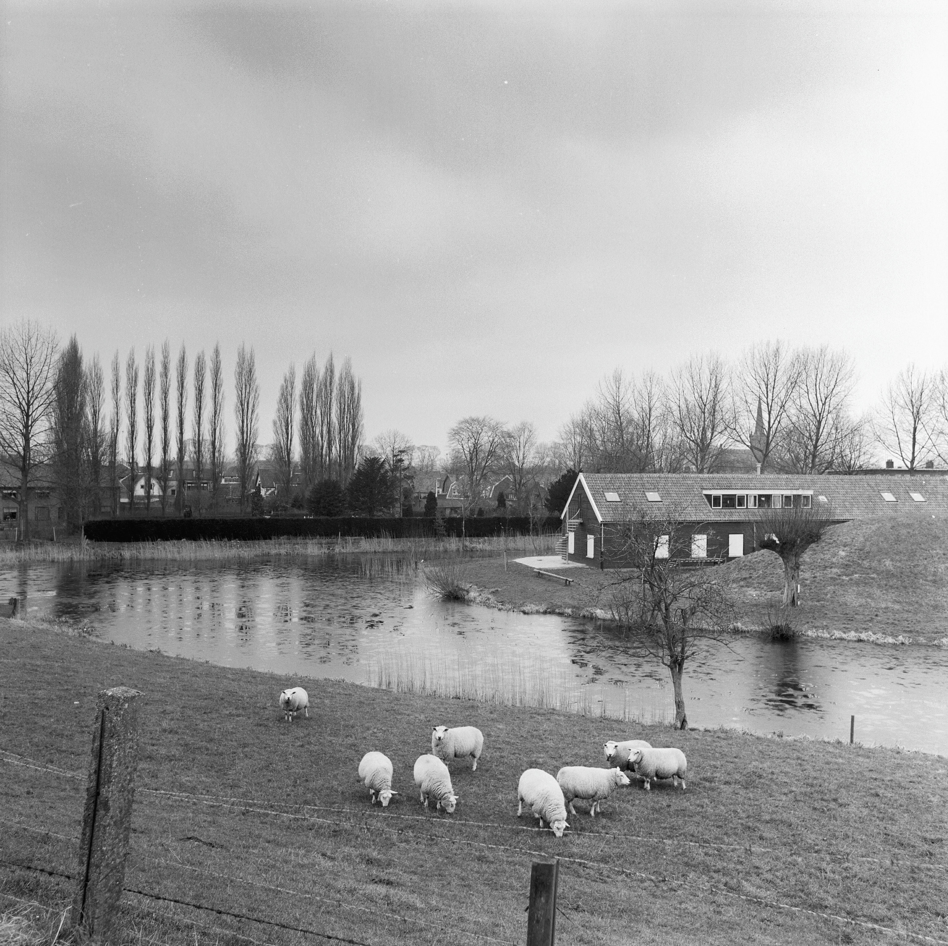
Fort Vreeswijk, also called Defense Works in Vreeswijk, is a defense fortification on the river Lek near Vreeswijk in the Dutch municipality of Nieuwegein. It was part of the New Dutch Waterline. In the Disaster Year (1672), the French built a fortress around this location. The defenses were subsequently rebuilt or rebuilt several times in the 18th and 19th centuries.
- Category
- Forgotten History
- Location
- Verdedigingswerk te Vreeswijk te Nieuwegein, Netherlands
- Coordinates
- 52.00561, 5.09906
- How to get there
- Google MapsApple MapsOpenStreetMap
- Wikidata
- Q2482755
What is Fort Vreeswijk?
Fort Vreeswijk is a Forgotten History place on VeroMaps. Other places close by: Hagesteinsebrug, Lekpoort, Grote Kerk, Vianen, Jan Blankenbrug.
Where is Fort Vreeswijk?
Fort Vreeswijk is in Verdedigingswerk te Vreeswijk te Nieuwegein, Netherlands. Coordinates: 52.00561, 5.09906.
How do I get to Fort Vreeswijk?
Fort Vreeswijk is at Verdedigingswerk te Vreeswijk te Nieuwegein, Netherlands (52.00561, 5.09906). Enter these coordinates in Google Maps, Apple Maps or OpenStreetMap for walking, cycling or driving directions.