Forgotten History
Fort Het Hemeltje
Houten, Netherlands
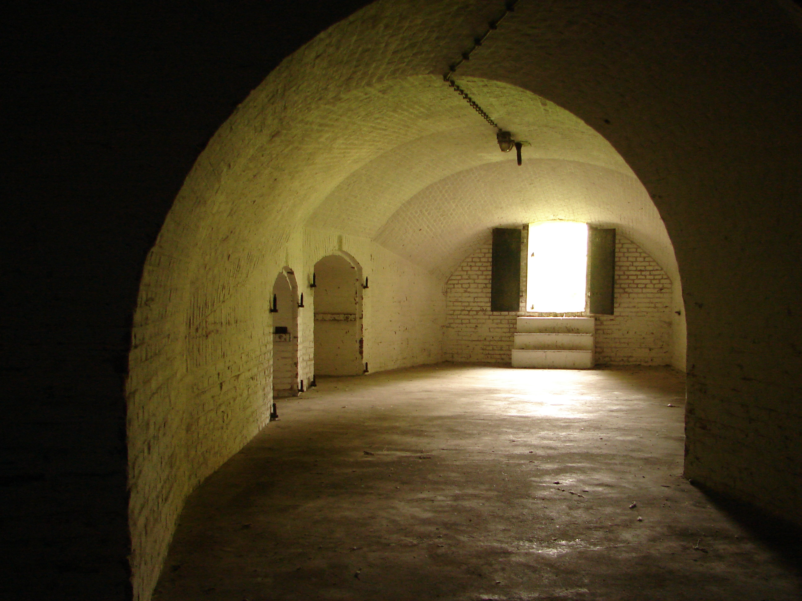
Fort het Hemeltje (officially: Fort bij 't Hemeltje) is a Dutch fort between Utrecht and Houten. It is the last built and most modern fort of the New Dutch Waterline. The fort is named after a farm and inn that used to be here. The fort was built in 1877-1881 according to a design by engineer officer Cool.
- Category
- Forgotten History
- Location
- Houten, Netherlands
- Coordinates
- 52.04889, 5.14556
- How to get there
- Google MapsApple MapsOpenStreetMap
- Wikidata
- Q18775907
What is Fort Het Hemeltje?
Fort Het Hemeltje is a Forgotten History place on VeroMaps. Other places close by: Oud Wulven, Houten, Vechten Fort, Wulven, Restaurant Kasteel Heemstede.
Where is Fort Het Hemeltje?
Fort Het Hemeltje is in Houten, Netherlands. Coordinates: 52.04889, 5.14556.
How do I get to Fort Het Hemeltje?
Fort Het Hemeltje is at Houten, Netherlands (52.04889, 5.14556). Enter these coordinates in Google Maps, Apple Maps or OpenStreetMap for walking, cycling or driving directions.