Forgotten History
Kasteel Oudegein, Nieuwegein
Nieuwegein, Netherlands
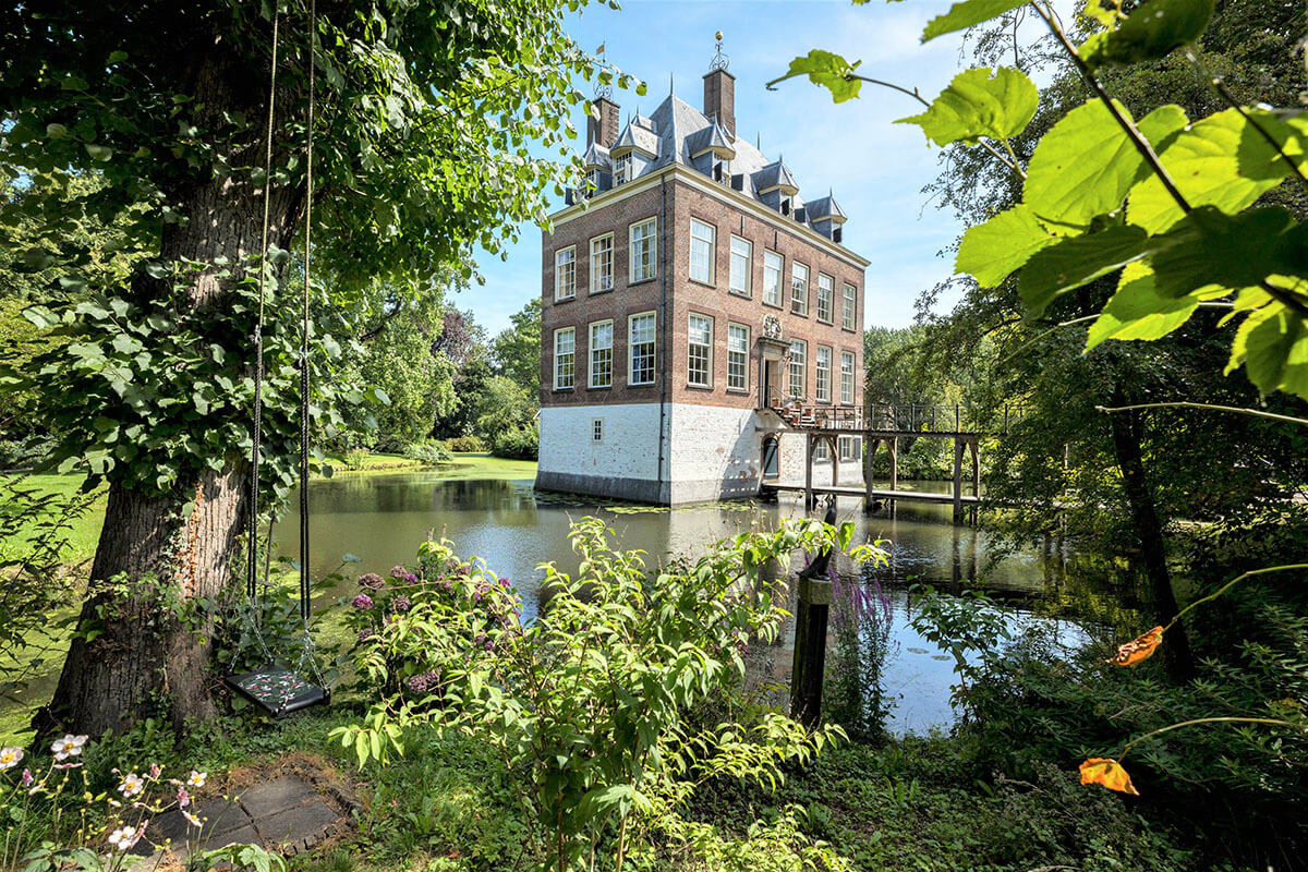
Huis Oudegein is a castle and estate in Oudegein, a district of Nieuwegein. The castle or country house Oudegein is located in the north of Oudegein, which, together with the adjacent area to the north, was part of the municipality of Jutphaas until 1971. The house and estate borders Park Oudegein. The house is not freely accessible.
- Category
- Forgotten History
- Location
- Nieuwegein, Netherlands
- Address
- Oudegein 1, Nieuwegein
- Coordinates
- 52.02211, 5.08724
- How to get there
- Google MapsApple MapsOpenStreetMap
- Wikidata
- Q2697701
What is Kasteel Oudegein, Nieuwegein?
Kasteel Oudegein, Nieuwegein is a Forgotten History place on VeroMaps, on Oudegein 1. Other places close by: Plettenburg, Fort Jutphaas, Kasteel Vronestein, Fort Vreeswijk.
Where is Kasteel Oudegein, Nieuwegein?
Kasteel Oudegein, Nieuwegein is in Nieuwegein, Netherlands. Coordinates: 52.02211, 5.08724.
How do I get to Kasteel Oudegein, Nieuwegein?
Kasteel Oudegein, Nieuwegein is at Oudegein 1, Nieuwegein, Netherlands (52.02211, 5.08724). Enter these coordinates in Google Maps, Apple Maps or OpenStreetMap for walking, cycling or driving directions.